

See also: Wales
After the Ice Cap retreated around 10,666BC, the best way for a wayfarer to get around Britain was to follow the high ground above the tree line of the densely forested plains, the haunts of evil elves, brigands and giant sabre-toothed squirrels. The Ridgeway in England is a well known ancient trackway, but Wales’ Kerry Ridgeway is thought to be older, dating back to the Bronze or even Stone Age, and also marked with burial sites, stone circles and earthworks, including the Anglo-Saxon Offa’s Dyke.

During the late medieval era the ridgeway became established as a drovers’ road to herd cattle, sheep, and geese towards nearby English markets. At this time corgis – ‘dwarf dogs’ in Welsh – (below right) were used as herding dogs. Another fun fact: to avoid getting robbed, drovers often left either deposits or their earnings where they sold their goods which became IOUs back in Wales, an early type of banking or credit loan.

The 24-km long Kerry Ridgeway runs west to east and much of it is above 400m (1300′) before it dips down to end in Bishops Castle in England. This elevation provides great views, especially north across the Vale of Montgomery. The ridgeway is part of a 131km ‘Shropshire Hills Kerry Ridgeway’ route from the Bikepacking Wales guidebook which I’d trimmed today to a 48km L&R to Churchstoke by the English border.

It took a few passes to locate the discreet Cider House car park at the Kerry’s western end and just 5km from the Glyndwrs Way which I e-bikepacked a few years ago. A notice board fills you in on the Ridgeway’s backstory before you set off up hill to the first merry gate.

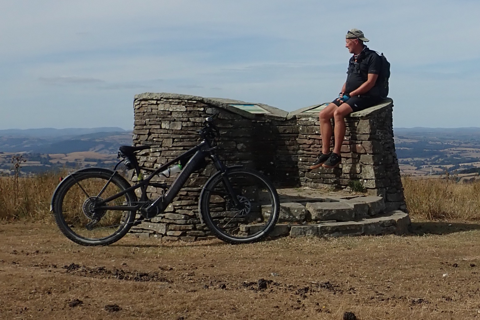
At 506m, the look-out (above) at Two Tumps burial mound is the high point on the route. Here I had a chat with some gravel bikers about what to me is the unfathomable appeal of drop-bar off-roading. It was notable that they did not spare a second glance at my Tero e-MTB.
After a couple of days in the green Cambrian mountains, here in eastern Powys the lower farmed landscape was as parched as the rest of heat-struck southern UK. Gate followed gate, then a section of road, all easy enough, even on a gravel bike. I had a tracklog but had forgotten to download the background OS map so missed out a bit on the ancient features I passed.

For a while the route traces the Welsh-English border and having stayed above 400m, around 15km in I left the Ridgeway to the north and dropped down to Cwm on the Offa’s Dyke. And when I say dropped I mean really dropped: 200m in about a kilometre, after which I followed backroads to Churchstoke and had lunch by the shade of the church graveyard.
Turning back, I didn’t want to tackle that Cwm hill in reverse and risk setting my motor on ablaze, so I followed a less acute climb towards Bishops Moat, close to where the Kerry Ridgeway officially terminates in Bishops Castle, the first village in England. The map showed a motte & bailey – a fortified keep on a mound or hill above a walled enclosure or yard. But as elsewhere, you needed quite a good imagination to visualise today’s overgrown mound set in a farmyard as something of interest.
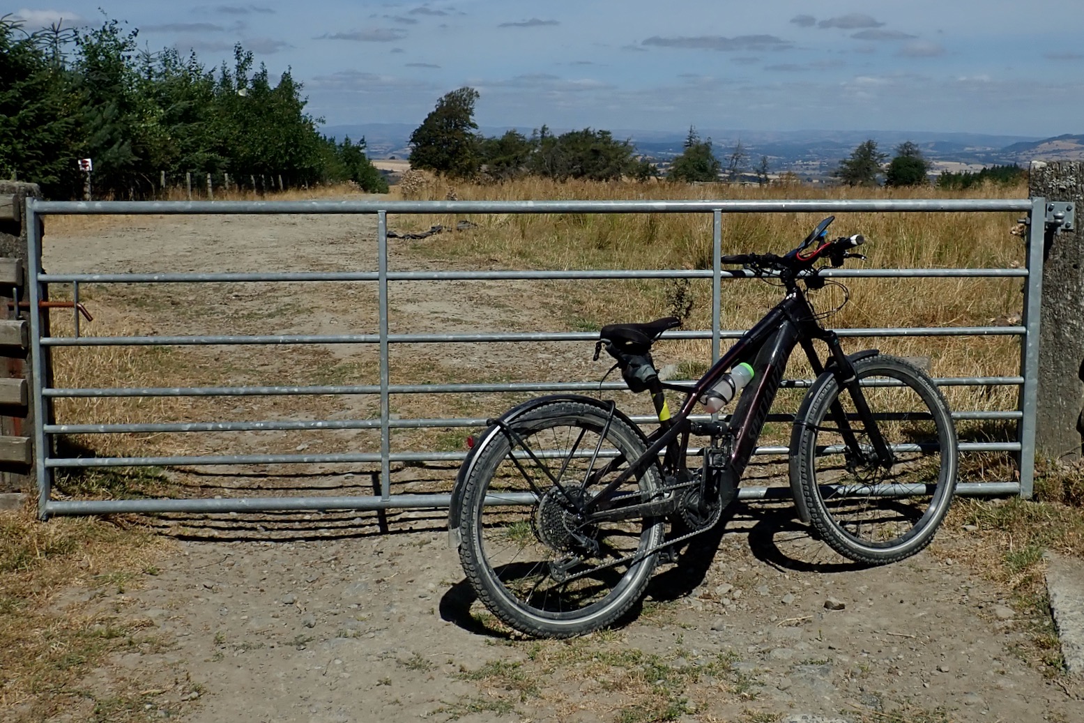

From this point it was only a 50m road climb to get back onto the crest of the Kerry Ridgeway which I retraced all the way back to the car, one gate at a time. I know it’s worse when riding solo, but I got to thinking that with all the Lottery funding and EU grants emblazoned on the Kerry Ridgeway information board, they could have used some of it to put in cattle grids to make the route flow on a bike cycle. They don’t have to be costly full width farm grids, perhaps something like the bike ones they’ve installed in Cambridge (above right) to keep bikes on the move but grazing cows out of the city centre, despite ancestral bovine rights enshrined since time immemorial.
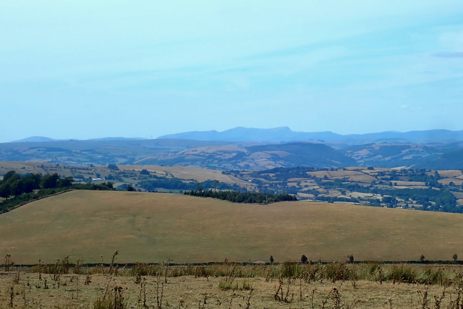
Back at Two Tumps, an orientation table or toposcope pointed to the distant hills, the biggest of which was Cadair Idris, 50km to the northwest where I’d had a great ride yesterday. The Kerry was nice enough, but probably needs to be combined with the guidebook’s Shropshire Hills suggestion to get the most out of it. In fact I dare say that, apart from the great views, winding around Shropshire’s backroads and byways might have more variety and interest.
The stats: 48km covered in 5 hours car to car, using 47% of the battery and 2:20 mins of motor time.
Pembroke Coast Quickie
Next day I drove down to Pembrokeshire to check out another of the Bikepacking book’s routes, I’ve never been to Pembrokeshire and part of the route followed the famous coast path through the military firing range of Castlemartin. .
I camped near Broad Haven beach, paying a stiff 24 quid to share a huge field with a shed housing a couple of grubby toilets and showers. ‘You’re not in la-di-da France now, boyo!’
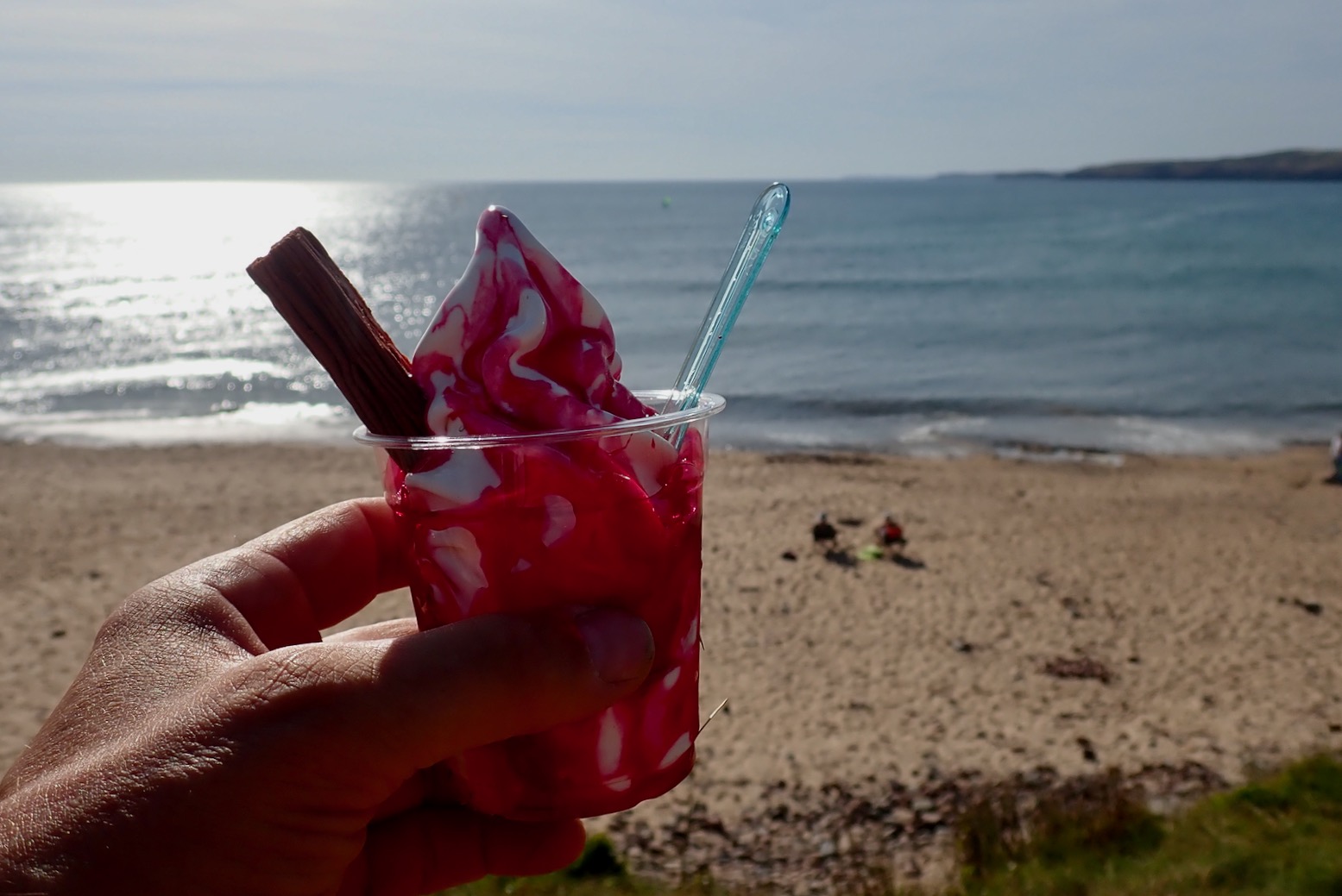
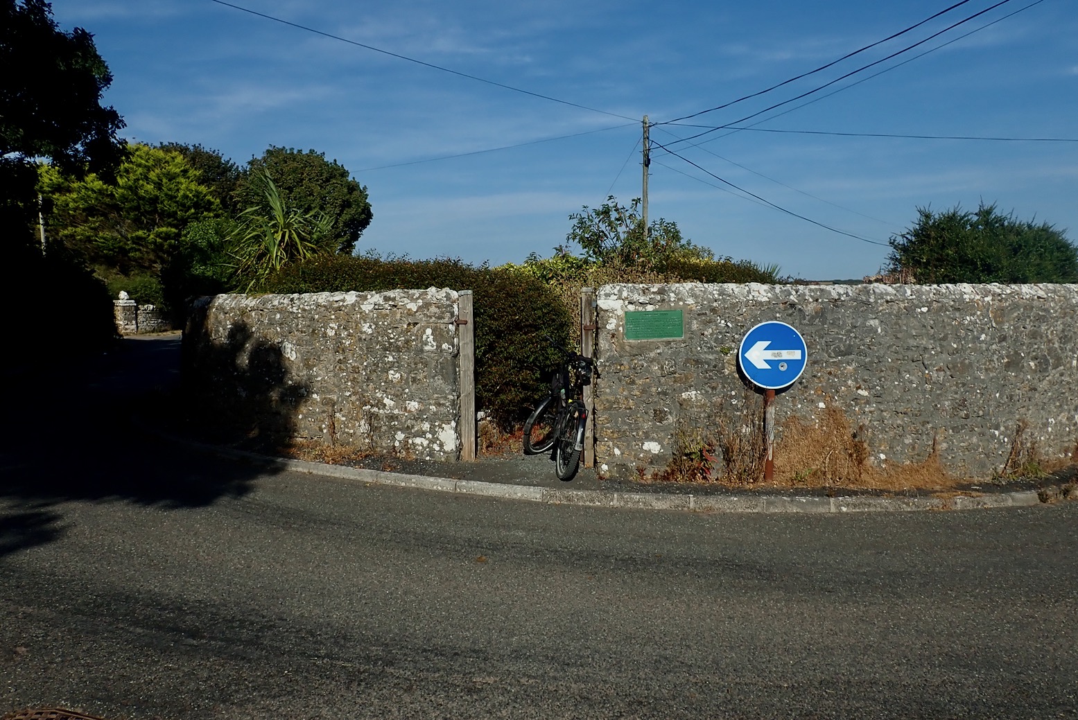
That evening was hot so I rode over to Freshwater West for a look and an ice cream sundae smothered with a lurid ‘raspberry’ coloured sauce which I’m sure was outlawed in the USSR way back in the early 70s for causing birth defects. On the way I’d passed a poundabout (above right) – a five-ways roundabout in the village of Castlemartin repurposed around a late medieval walled cattle pound where stray stock was held until the owner coughed up a fine or submitted to a spell in the stocks.

But the best part was the coastal stage as mapped above. If I’d re-read the guidebook’s account I’d have turned off the tracklog to check out the impressive Green Bridge arch, but even then, there were enough interesting coastal formations to make the 6km ride back to the campsite worthwhile. Note the two at that rock: now that’s what I call wild swimming!
Tomorrow: Wye Valley and the Forest of Dean.


Leave a Reply