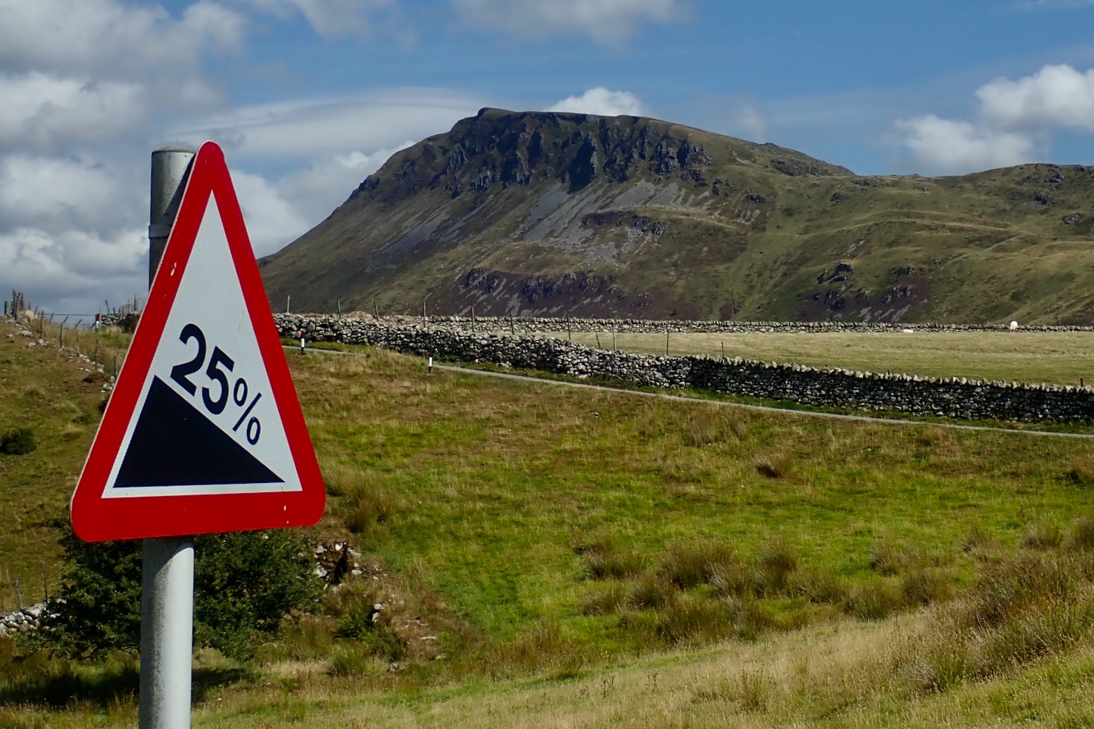

See also: Wales
Riding down from Llandundo Junction in June following the the Trans Eryri Trail across Snowdonia on my way to the Trans Cambrian Way, I reached a crossroads south of Arthog. Ahead of me, water was running down a stony trail which led around to the west flank of the Cadair Idris massif. It had been raining on and off all day and here the wind rolled straight in off the Irish Sea.
Headwind; climb; unsure of range or terrain and with nothing to eat, so instead I turned east and let the wind blow me along a brilliant hillside road to Dolgellau for a snack, followed by a less pleasant run along the busy A487 to the turn-off for the Tal y llyn hotel back on the Trans Eryri. I knew I’d missed a good section of the Trail around Cadair so it was on the list for this week in what was now drought struck Wales.

It took 90 minutes to get to the start from my campsite near St Harmon, but the sort of drive I didn’t mind at all. Up through ‘Llani’, past the Clywedog reservoir to Staylittle and along the Dylife road (above), then down to Mach and up to Cadair’s south side.
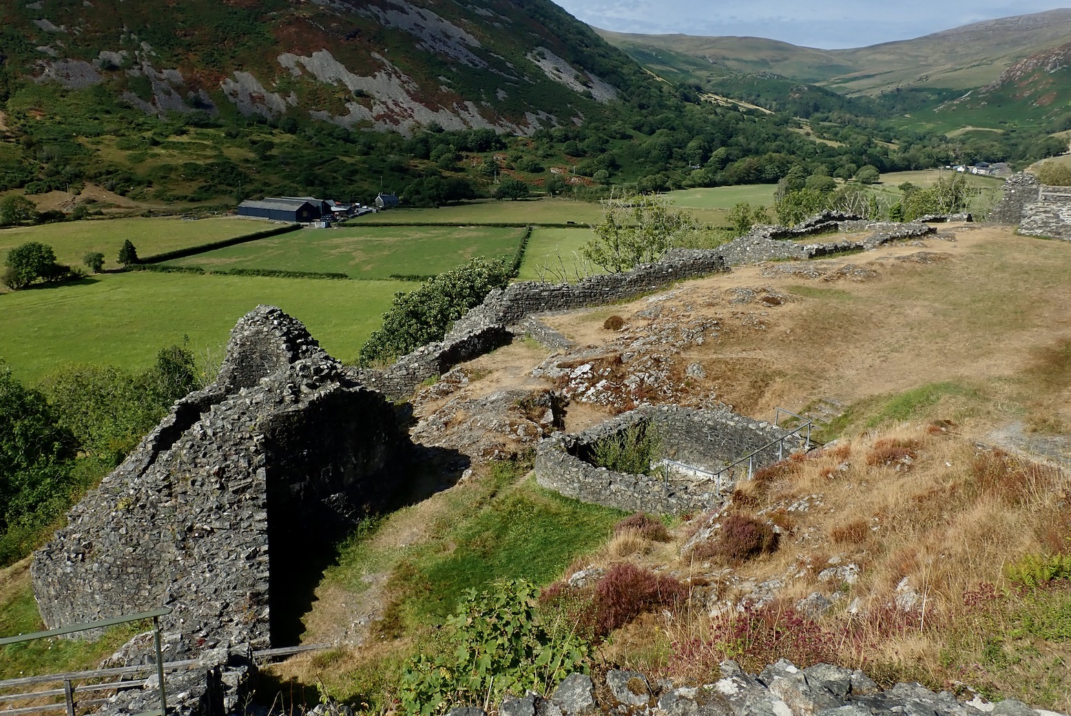
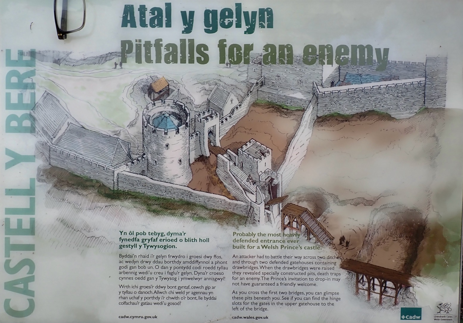
I parked at Castell y Bere, just off the Trans Eryri, built around 1220 by none other than Llywelyn the Great to defend his princedom of Gwynedd. After my ride I walked up to the ruins where some archeologists were scratching about in a pit for Llywelyn’s Lost Hoard and a heatstruck family were shading from the baking sun.
Just up the road from here is where the easier, 16-km Pony Track bridleway leads to Cadair Idris summit. As you’ll see below, once you get up there, it can make a gripping, fast descent on the right MTB.

I picked up the Eryri trail and reversed it as far as Bird’s Rock (above), then, instead of just doing the Eryri mountain stage to Arthoig and back, I made the day into a loop and followed backroads towards Bryncrug and briefly on the A493 to Llanegryn, where the Eryri Trail came in off Cadair west. I’d be coming down from there later, but for now I made my own way along random tracks towards the coast, before turning back inland for the Arthog crossroads to soot along the Eryri back to Castell y Bere.

Dumped on Shite Lane
At Blaidd (see map above) I left the bitumen for a trail marked with green dots on the OS map, as below left. I wasn’t sure exactly what ‘Other routes with public access [ORPA]’ meant, but presumed it was some kind of bridleway. ‘Shite Lane’ (above) soon turned into a steep climb up a narrow, walled gully overhanging with face-level gorse and brambles, and carpeted with loose stones, ruts as well as jumpy sheep. Just about as unrideable a combo as you’ll get, short of fighting off marauding packs of dire wolves with a stick if week-old celery.
After a breathless, scratchy, stumbling 100m ascent, I got to the Red X junction (maps below) where my OS routed tracklog led northeast. But although later checking the Gwynedd Definitive Map showed a ‘public highway’, my tracklog led into a regular field behind a locked gate. The OS App auto-routing had misfired – good to know it can happen. Annoyingly, I was right on the very edge of my offline map, but carried on off it northwest another 30m of ascent towards Pant-gwyn. As I leant the bike on a wall to do a gate (it’d been minutes since the last one), up the trail came the noisome cackle of dirt bikes.

‘Public Highways’ it says. Really?

Surely this was not a byway – it’s barely a sodding path! so these must be a pack of those rogue bikers you read about. I let a couple run through, left the gate for the last one then went through the five stages of proprietorial NOMBie (Not on My Bridleway!) indignation which ends with endeavouring to placate the outrage. They had plates so were probably legal and were they actually doing any harm to anyone? A pokey KTM 250 would certainly have have made light work of the Shite Lane climb.
Turns out, according to the Gwynedd County Definitive Map, we were sharing a ‘public highway’, even if some of these ‘roads’ shown on the County Map did not exist on the ground. All up, it was a good lesson on the vagueness of OS RoW mapping once you get down to the ORPA level (aka; Unclassified Country Roads, ‘UCR)’, dodgy OS App routing, and the shaky ‘ground truth’ of so-called Definitive Maps (which tbh, all come with caveats anyway). It means if you don’t want more surprises like this, you need to get even more granular with your nav when planning new routes and cross-ref with satellite and OSM – then still get caught out. or just treat each new route as a recce. Luckily, this is only the UK not the Tademait Plateau in July.

Nearby, at the ruins of Pant-gwyn (above), the bikers roared off northeast in trails of carcinogenic blue smoke which are thought to be responsible for the collapse of the Cambrian Mute Moth’s breeding cycle. As it happened, the way they went connected with the Trans Eryri in little over a kilometre and which here was also an ORPA. So watch out for bikers. Meanwhile, after my effortful climb, I was delighted to find myself northbound on lovely, airy, paved lane.


Soon Caridigan Bay came into view (above left), but this is Wales so it’s not long before a hideous, gulag-like holiday park hoves into view (right).

The sandy turquoise swathes of Barmouth Bay rose up ahead and soon the road started hurtling steeply down towards the coast (below). This was all very nice but also not good; I was going to have to claw back all this delirious elevation loss one metre at a time to get back onto the Cadair massif.

One positive was that it was this descent which once and for all eliminated the screeching my brakes did when pressed hard. Sometimes the noise can act as a handy ‘coming through’ warning to walkers up ahead, most other times it feels like an extremely annoying but unintended ‘gerrouttamyway’ intimidation. Even a change of pads had failed to fix it, but today something got cauterised on the disc rotors which now look a little charred.


Back up from Sea Level
I rolled into Llwyngwril (note they throw in a free vowel to attract English retirees) and knew from here I was going to have to laboriously regain height. Just as well I got an e-bike, a?! I huffed and puffed up a back lane out of town; a passing German hiker acknowledging my e-assist. Then, at the last farmhouse the smooth but steep bitumen turned into Shite Lane Revisited. Bare rock, loose rock, unrideable rock. I hoped it might level off after a while, so walked up for a recce and sure enough it did (below) so was worth the slog. Fti, unless desperate (like train station steps), I’m off extended use of Walk Assist now; it eats too much battery.

This was the Wales Coast Path and became the best stage of this route all the way back to Birds Rock. It was a repeat of the wide open sea views coming into Llwyngwril with the brakes on fire, but this time lightly contoured the hillside as it traced its way above the Barmouth estuary headlands.

Up ahead webs of drystone walls led to a pass rising into the hills.

After delicately negotiating my way around a bovine logjam to get to a gate, the trail even turned back to tarmac, spoiled by more gates of course, but still a treat to whizz along past heath and woodland until the mass of Cadair Idris mountain appeared ahead (above).
Just like Snowdon, a bridleway leads up to the mountain’s 893-m (2930′) summit, but as you can see in the vid, it gets rougher and rougher as you near the top, and will sure warm up the suspension coming back down. It looks exhausting. You can guess from the way I’ve whined on about piddling stony climbs that I don’t think me or the Tero X5 would last 30 seconds on Cadair.

Cadair west
I reached Arthog high junction, this time in clear and dry conditions. By now I’d adopted a Buddhist-like acceptance of The Way. The Path may be Stony and Steep, the Path may be Fast and Fragrant. But by taking the rough with the smooth, Enlightenment & Equanimity are attained. If it was easy we’d all be riding gravel bikes! Oh, we are.

Despite my newfound composure, the X5 struggled for traction up Shite Lane 2 and I struggled for balance, but just about cleaned the section and joined the Eryri Trail proper, turning southwest for another col.
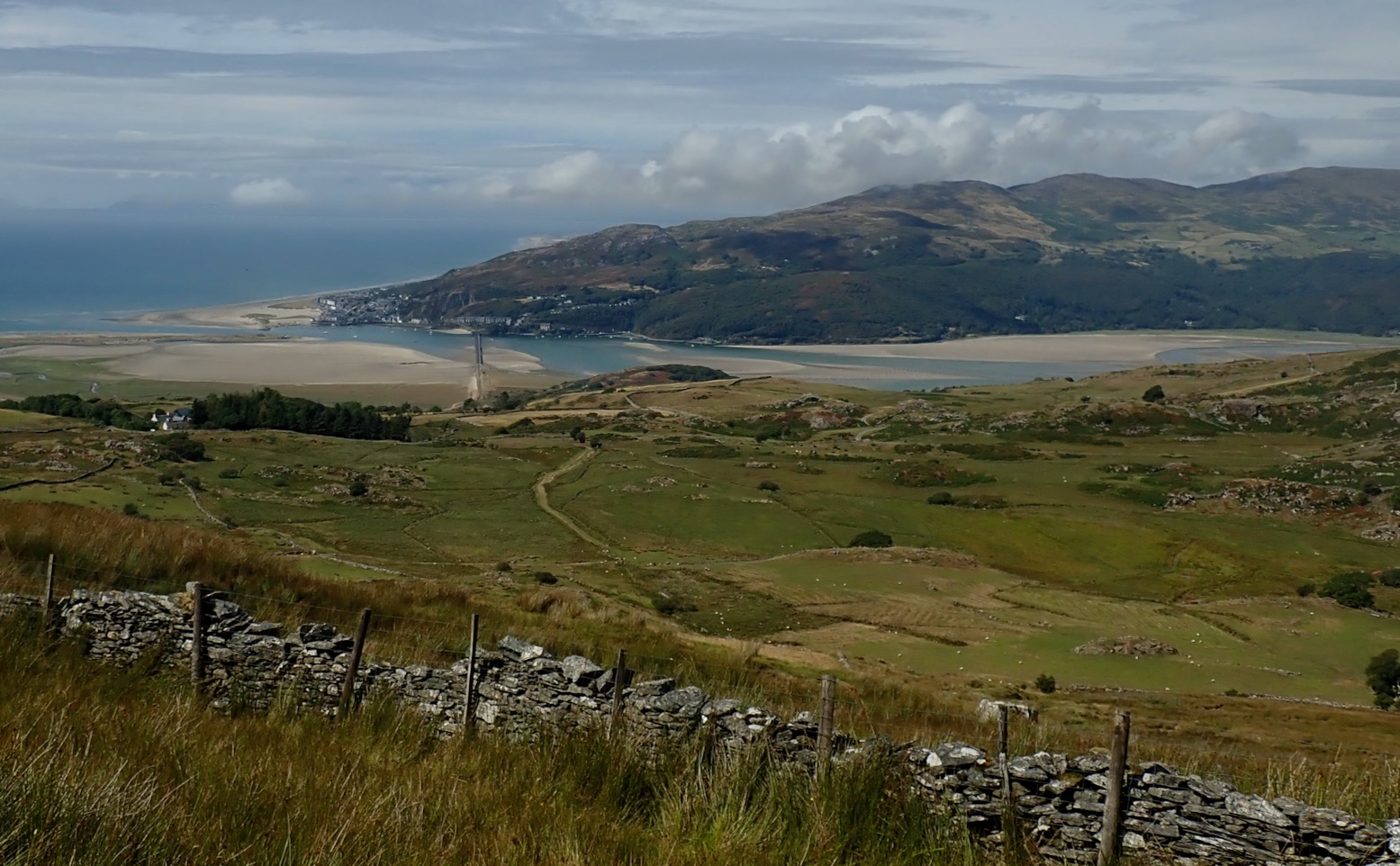
As promised, there was a great view down to the Barmouth estuary and the rail/cycle bridge spanning it.
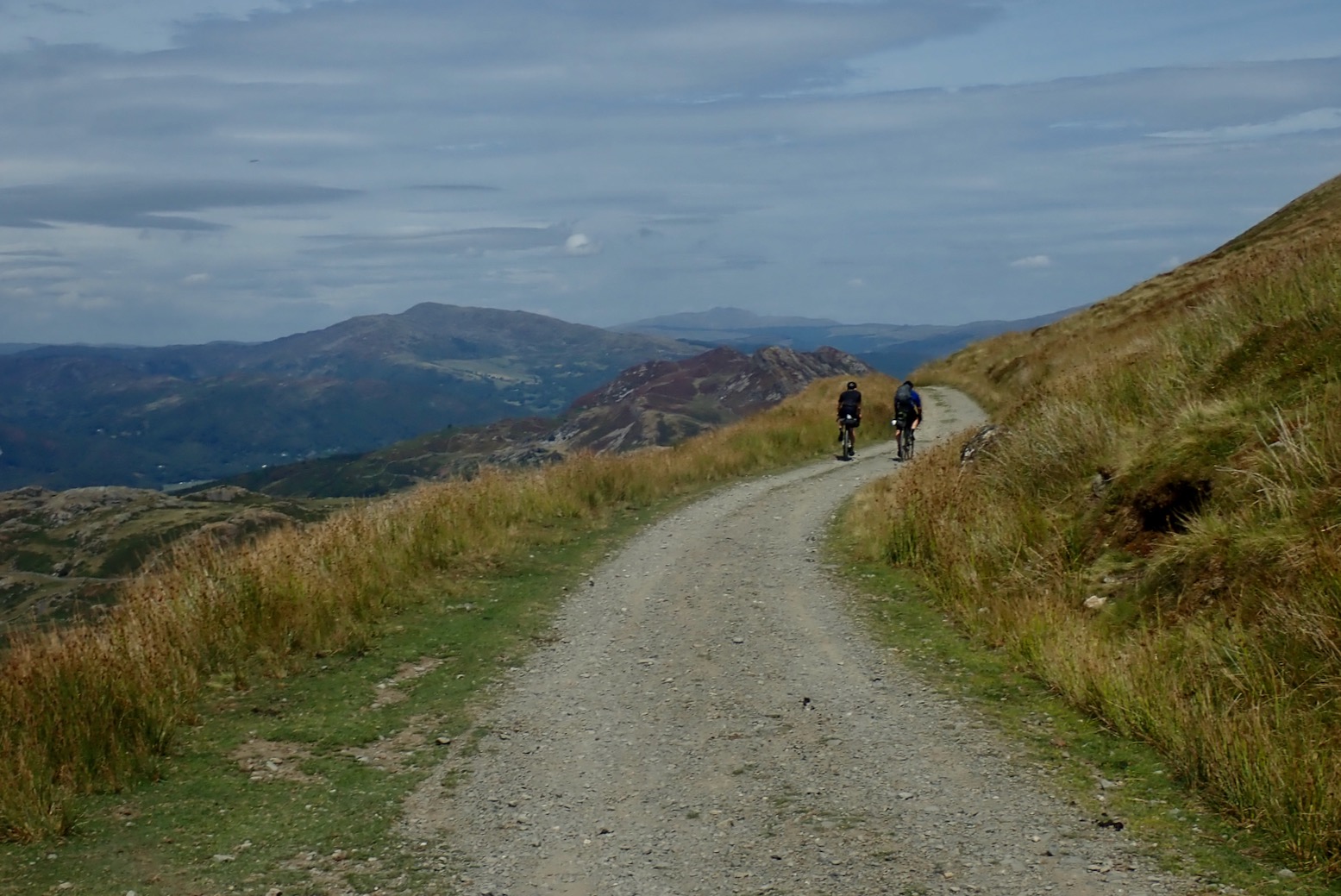
At a gate a couple of gravellers wheeled through. This is an ideal track for them – and me too. It’s hot now – summer of 2026 heatwave #5 is building up and I’m out of water after all that unexpected pushing. I pass a small dammed pool, fill up the bottle then strip down for a cooling bed bath, or whatever they call it when you have a wash without full immersion. The remains of the days should be a ride in the park.
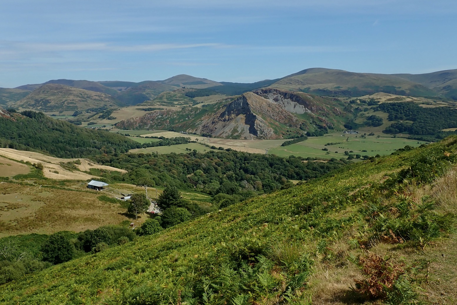
It sure was. At the near 400-m pass or soon after, the wide logging road became sealed and I enjoyed a screech-free freewheel back into the amazingly lush Talyllyn Valley, with Birds Rock up ahead.

Back in the valley, I pass below the Rock (above) then retrace my morning’s route to the car which is now creaking with built-up heat. Crossing a bridge just before, I couldn’t resist popping into the Afon Dysynni for a full cooling dip. It signed off a great hill ride on the Welsh coast.

Next on the list: the ancient Kerry Ridgeway.
Leave a Reply