

See also: Wales
Heatwave #5 of the 2026 summer was getting underway, a good day to be in the shady Forest of Dean and the Wye Valley, following another route from the Bikepacking Wales (BPW) guidebook. From Pembrokeshire it was a half-day drive towards Chepstow, made easier by the M4, aircon and podcasts.
After yesterday’s short coastal ride I’d been unable to recharge the Tero X5 at the basic clifftop campsite, so today only had half a battery’s worth. (Since then I’ve had an inverter fitted to the minivan to charge the bike battery while driving).
Half of the BPW’s 95-km Wye & Dean route is there-and-back from Chepstow along the Wye which I’d done in a packraft just before that river became notorious for its chicken shit run-off. So instead I headed for the YHA in St Briavel’s, housed in an early Norman castle overlooking the Welsh border.
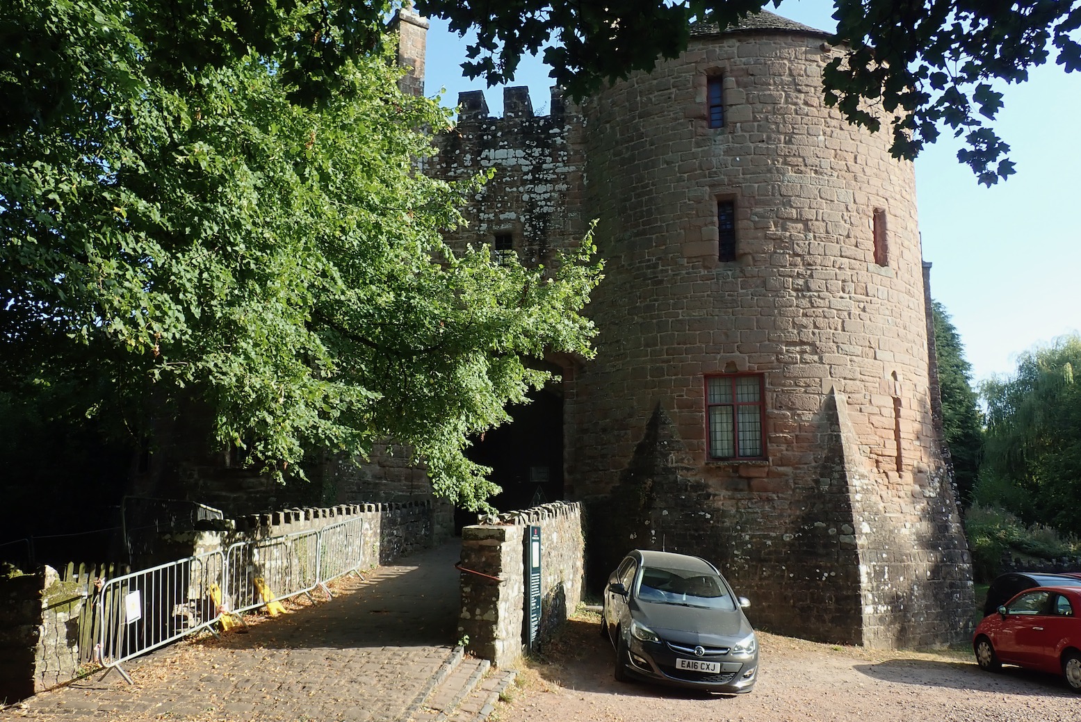
Once parked up in the shade, I set off with 56% charge. I’d not be able to do the book’s full 95-km loop so would find a way to shorten the ride and turn back once down to around 40%. It was a 200-m drop to the Bigsweir bridge into Wales, something I noted for the way back. I didn’t want to be heavy pedalling back up to St Briavels in the late afternoon heat.
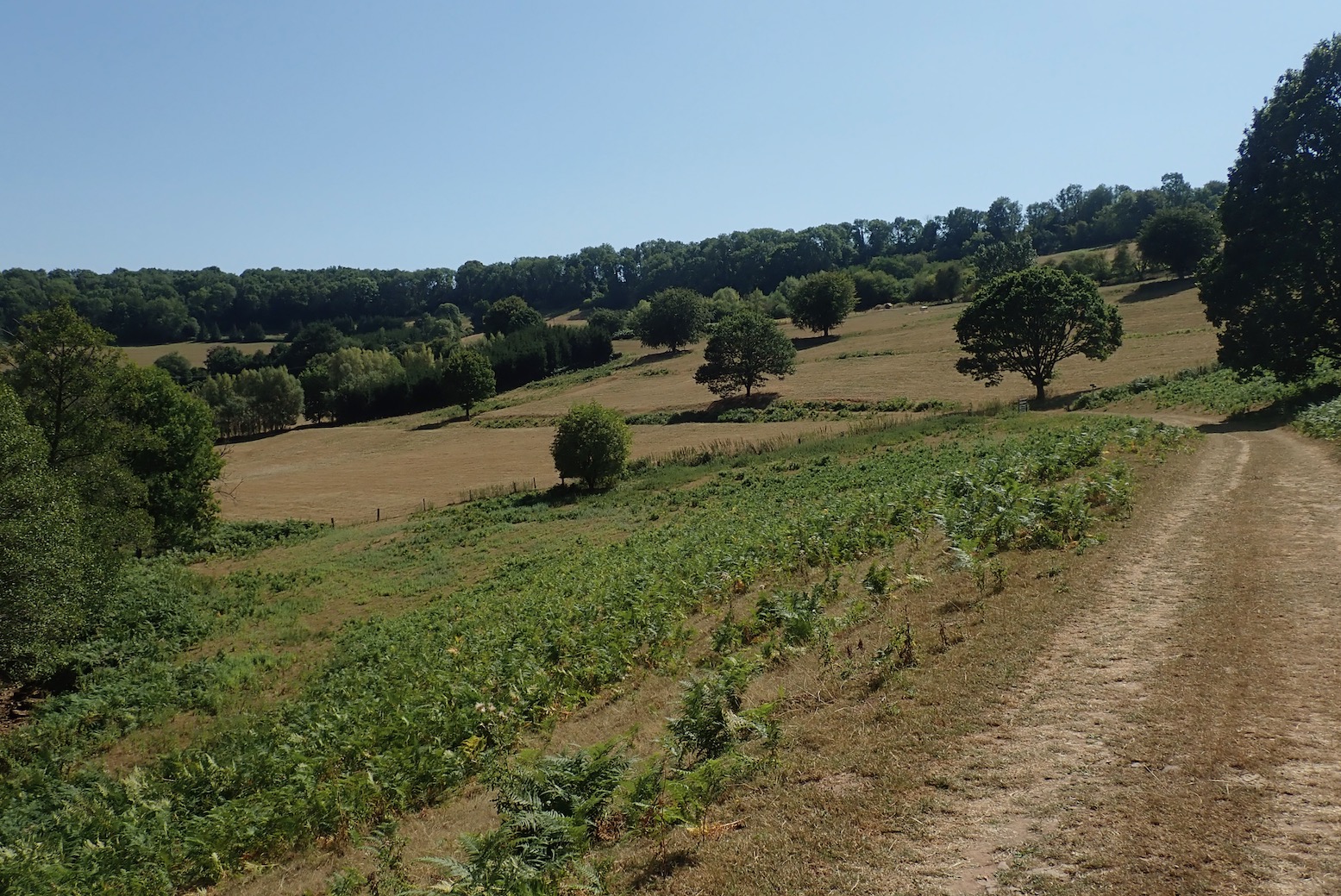
The route followed a back road then took to a riverside track to the Boat Inn where the 150-year-old Penallt rail viaduct crossed the Wye back into Redbrook, England. A very steep climb out of town soon levelled off and contoured the side of a tributary valley feeding the Wye. For some reason I was struck down by a feeling of mild euphoria so parked up under a shady oak tree to enjoy some lunch.
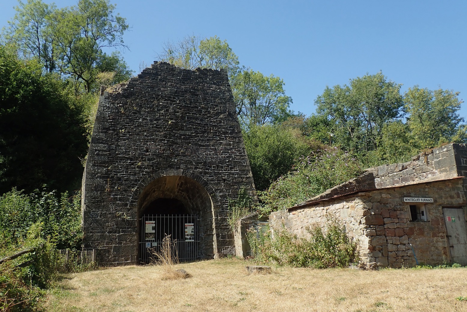
The track joined a road and passed through a couple of villages to the remains of what turned out to be the Whitecliff furnace (above) built around 1800. Here I learned that, as well as lashings of timber for charcoal and even ship building, the Forest of Dean was rich in iron and coal (and ochre), all mined here since before Roman times. Back at the hostel I was told one reason for the expanded fortification of St Briavels castle under Edward I was its location close to an important production centre for iron crossbow bolts which Edward’s mercenaries needed for his wars in Wales and Scotland. Thousands of bolts were stored in the castle, ready to harry the Welsh.
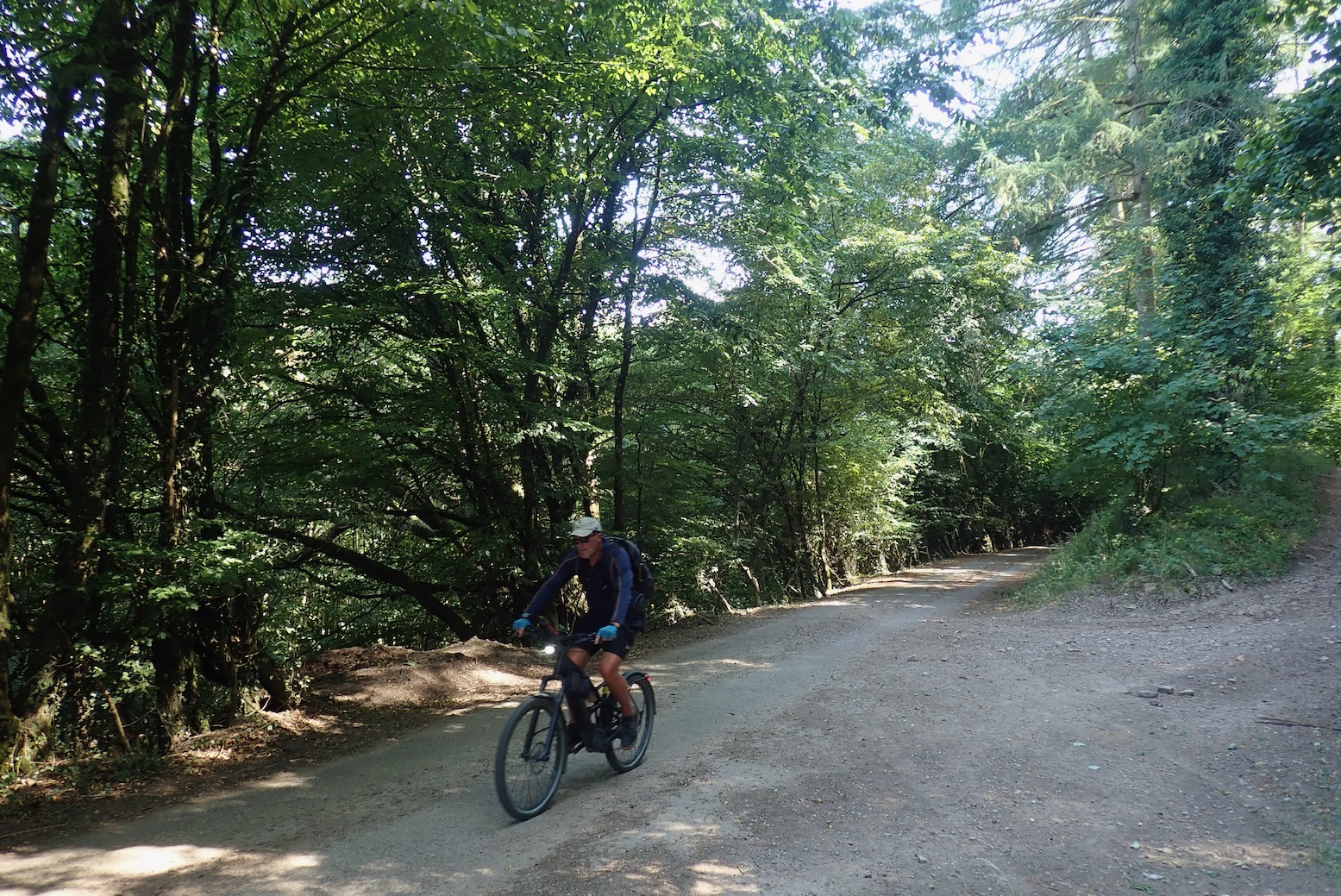
Suitably informed, educated, and yes, entertained, a short ride led into busy Coleford where I supported the local economy by knocking back a litre of juice and a Magnum before checking the tablet’s OS App on how I might shorten my route. The rest of the Forest to the east would have to wait for another time. Instead I rode north to Symonds Yat, a popular viewpoint over a huge meander in the Wye, before dropping steeply again to river level for the ride back south.
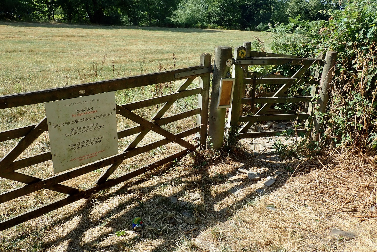
Annoyingly, below Symonds Yat the BPW book’s tracklog routed me to a kissing gate at 51.845223, -2.642871 (see map above) which I’d initially ridden past. It leads over a field to follow a riverside track down to the Saracens Head Inn, cafe and canoe rental, only 500m on. A weathered sign on the farm gate (above) said Permissive Path, so not a biking right of way.
It’s hard to know how it got incorporated into the BPW tracklog, but if I’d had my wits about me I’ve just zoomed the map out and stayed on the road to its end at Saracens Head, two minutes away. Instead, I stupidly heaved the Tero over the farm gate and got there the hard way, wondering if there’d be more of this down the track and if yes, whether I had the range for deviations. (Vertebrate Publishing tell me they’ve corrected the BPW Route 7 tracklog file).
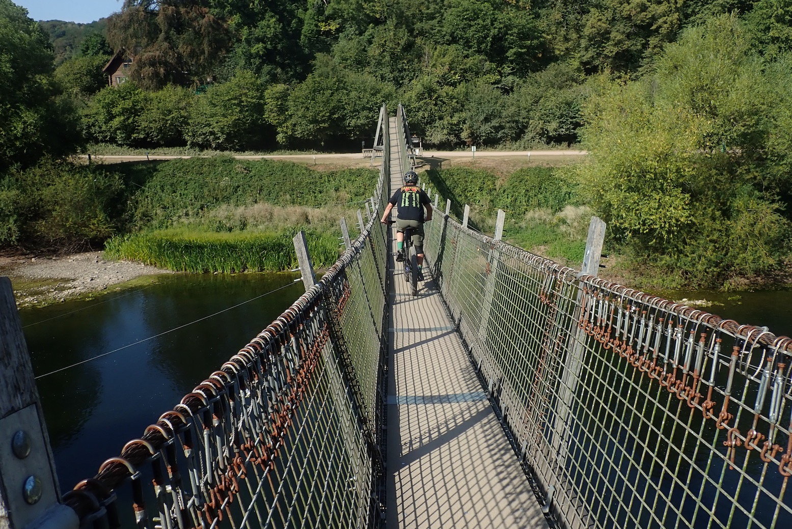
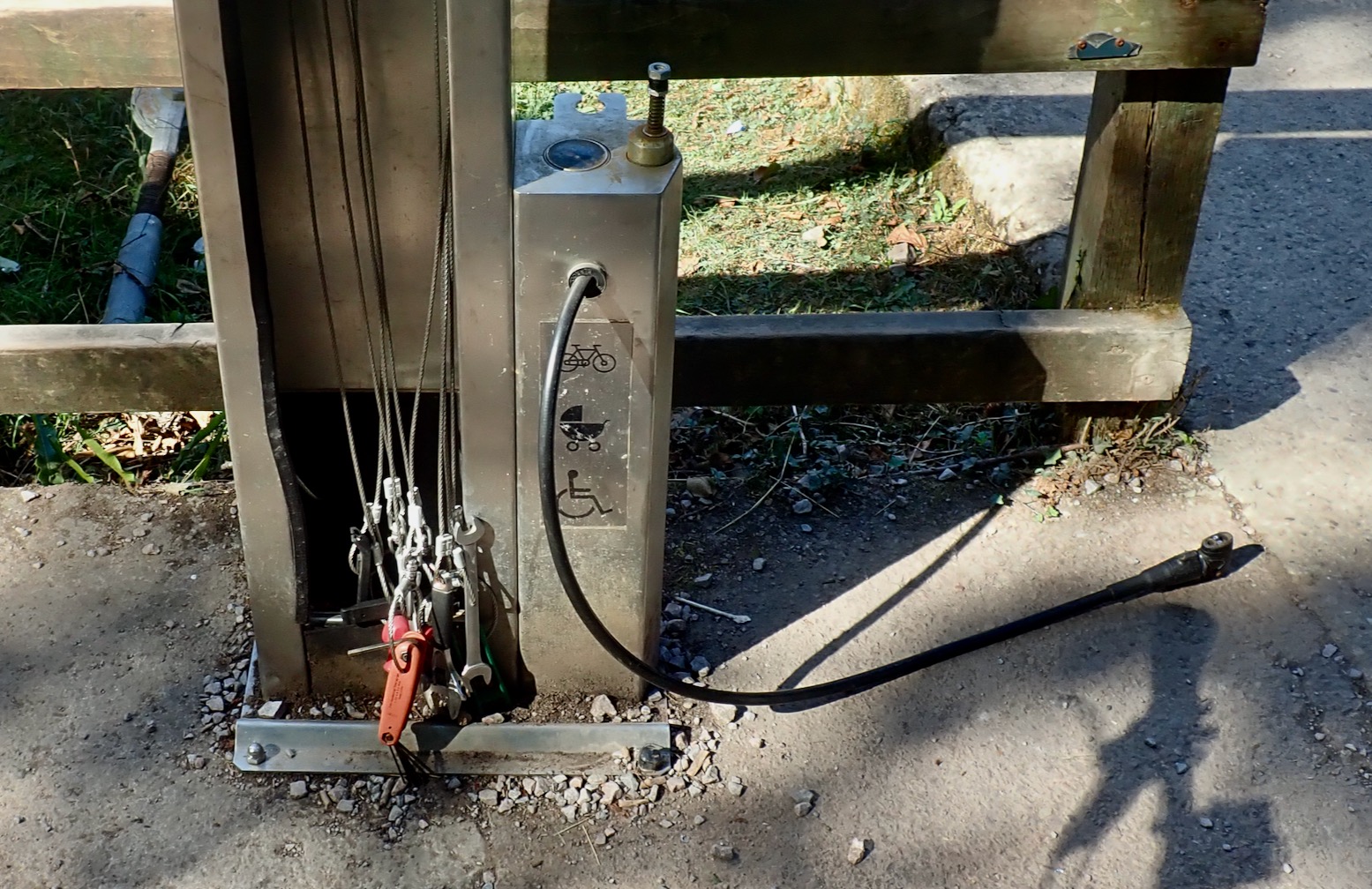
I needn’t have worried about more tiresome gate lifts. From Saracens Head It was a flat, gate-free and tree-shaded riverside bike path all the way, which helped save the battery. Other bikers were out enjoying the ride and just before a suspension bridge (above left) you cross unnoticed back into Wales and eventually rock up on the outskirts of Monmouth. By the suspension bridge I noted a tool and pump station (above right). Not seen that before; nice touch.
This part of the trail tracks one of the many former Victorian era railways which ran up and down the Wye valley and through the adjacent valleys and hills, serving the mines and local needs.
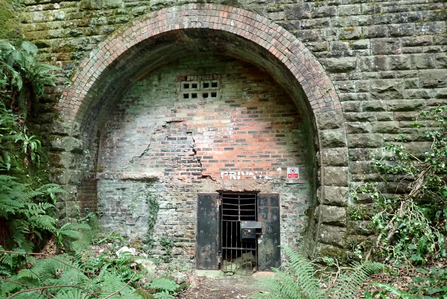
After Monmouth, a short distance out in the woods I missed the thin fork right leading back to the riverside road for Redbrook (doing this in the other direction by the book, you’d not notice) and a mile on passed another interesting looking portal or furnace in the hillside, bricked up and with a locked iron gate (above). I walked up to it and like a sweaty Odysseus, was seduced by the ice-cool breeze emanating through the grill. Ten steps away and it was back up in the high 20s; by the grate a delicious icy draught embalmed me in cool air, like standing under the air-con vent at the gym. I couldn’t tell if it was a shaft or a tunnel, but later learned this was Redbrook Upper #1 tunnel, a short, and short-lived branch line that had once cut through the hill for 250 metres to link Monmouth with Coleford.
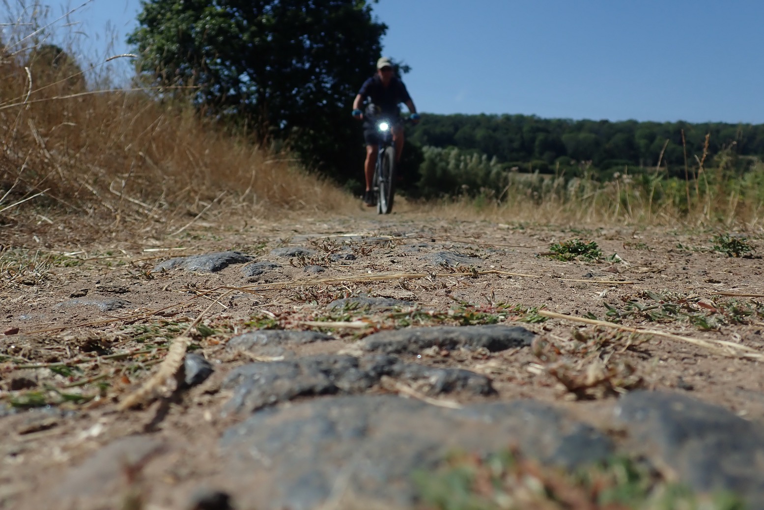
I carried on going the wrong way, over a fallen tree until the path deteriorated by a crumbled wall just 250m from Upper Redbrook Road. On a light MTB I might have blundered on, but decided to turn back to the fork I missed and follow the BPW tracklog. That dropped steeply down to the A 466 road into Redbrook, then it was back over the Penallt viaduct and the riverside track to Bigweir bridge where the late afternoon sun lit up the tranquil Wye valley (below).
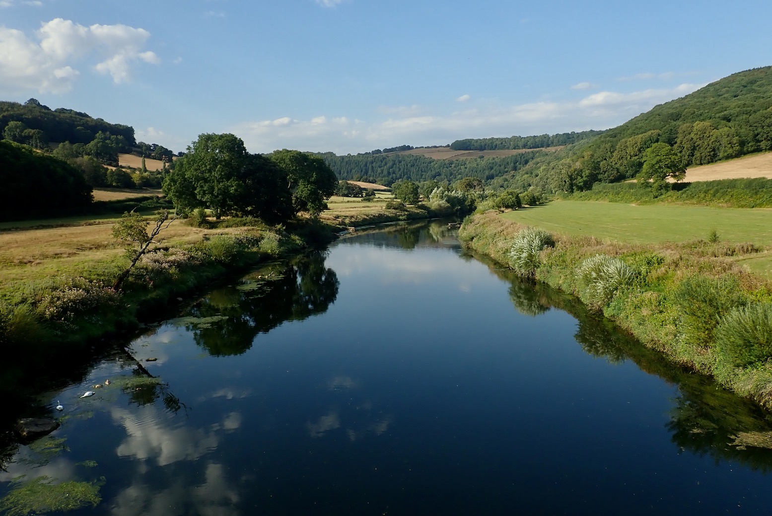
The 2km climb back up to St Briavels consumed a fair amount of juice but go me in with 32% – a healthy reserve. The chummy wardens gave me a guided tour of the castle, a fascinating maze of corridors, creaky stairwells and dorms shoehorned into hostel-shape. What an amazing property for the YHA to have.

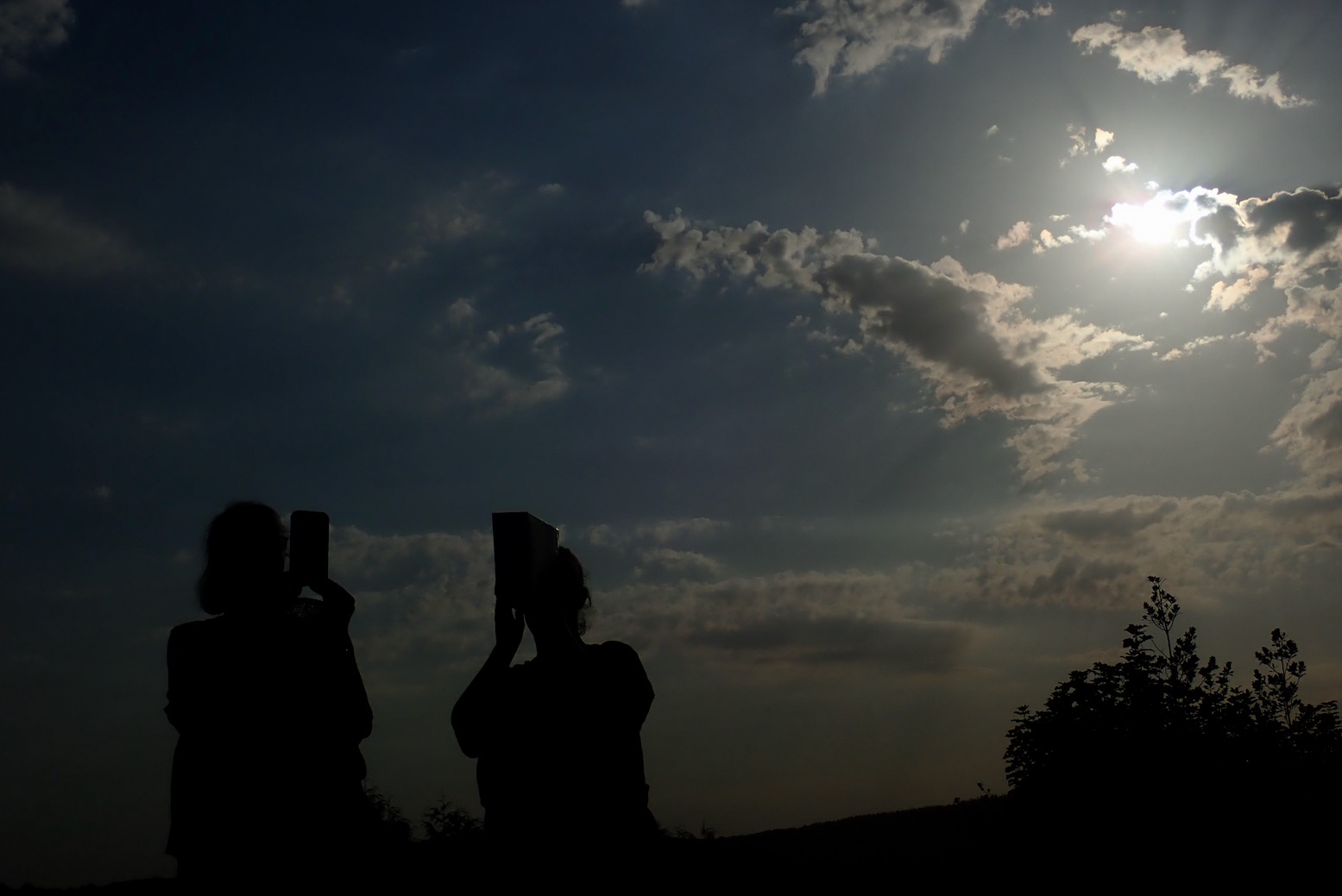
I’d nearly forgotten there was an eclipse tonight. By the castle on a flat space, St Briavelers were revelling with their eclipse specs, colanders and pinhole cereal box cameras. I’d seen a full eclipse before, deep in the Sahara; something you definitely want to experience if you get a chance, but tonight I was unprepared. I thought I might squint through a pinhole in my fist. That didn’t work, neither did shutting my camera’s aperture right down to -2.0 (above right).
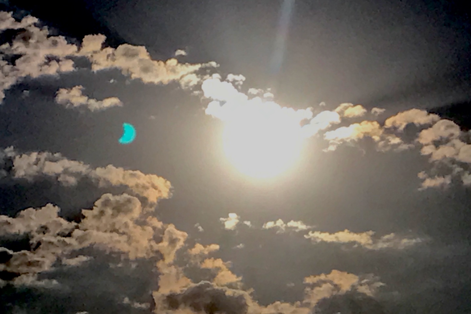
The camera’s battery died – pretty good going after a week in Wales, then I remembered my old iPhone had a camera. I read now there were dire warnings about shooting the sun – the phone camera would be ruined! But it wasn’t. Back home I noticed a refracted cyan artefact caught at 18.43 which looked like a projection of the partially obscured sun, apparently a common phenomenon.
I’ll take that, as well as a great week bombing around Wales on my e-bike.
Leave a Reply