Central Asia has always intrigued me, a richly historic cultural crossroads with added mountains and deserts. I read Peter Hopkirk’s and Colin Thubron’s books on the region while working in a bookshop, but getting there with a motorbike (my usual ride) from the UK was just too much hassle, not least exploring culturally integral Xinjiang (‘Chinese Turkestan’ of old) where you had to be escorted from border to border.
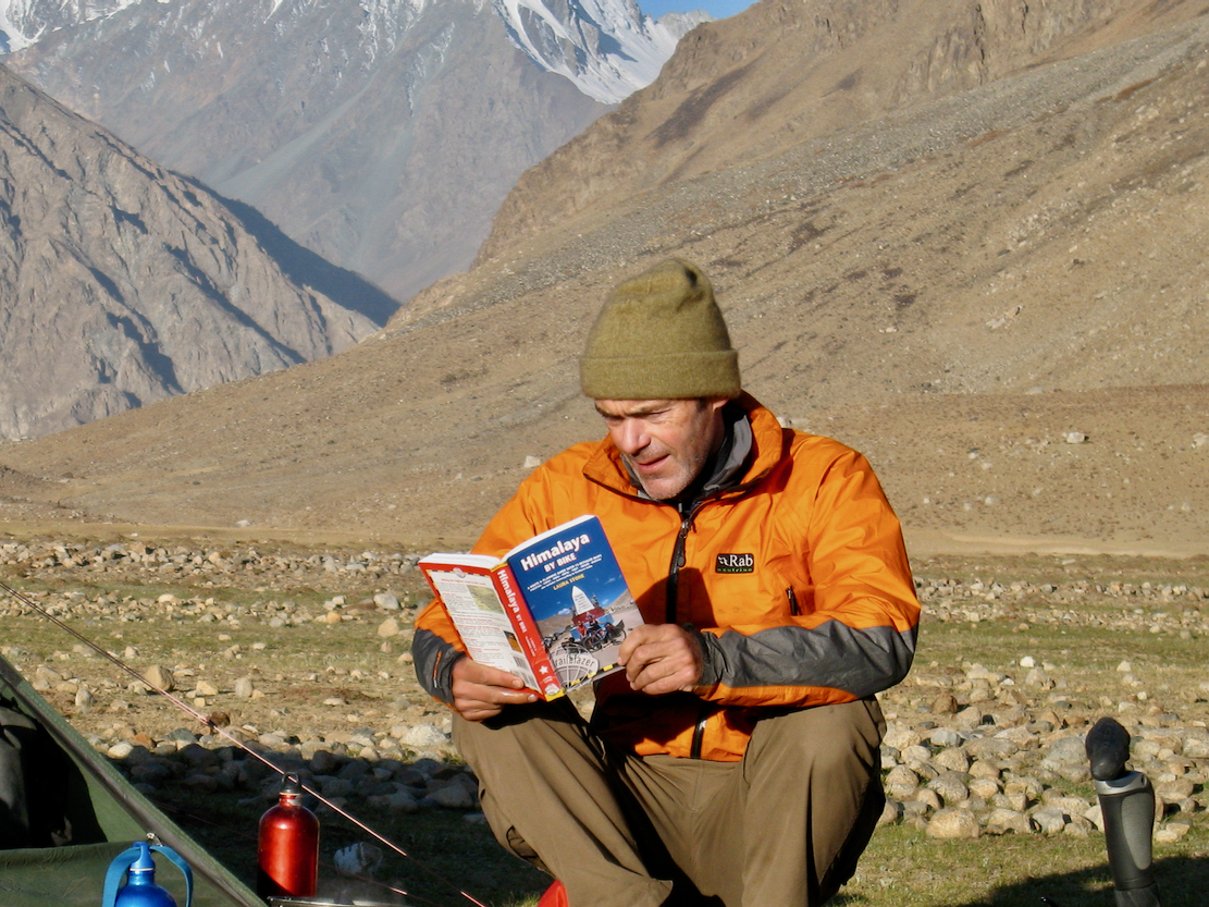
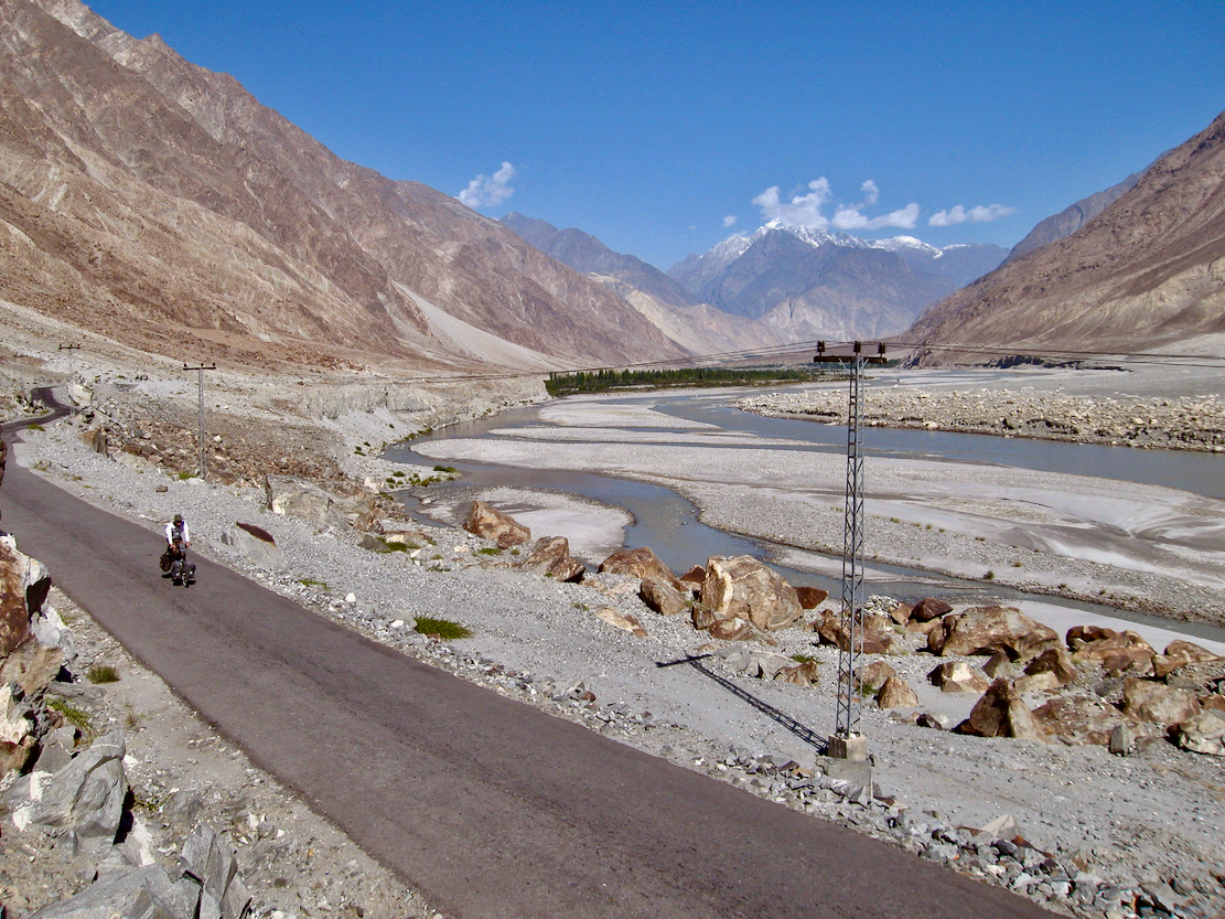
In early 2008 I was typesetting Laura Stone’s Himalaya by Bike (above). Cycling the Himalaya and adjacent ranges was actually easier than it sounded as road gradients were relaxed to permit overloaded and under-powered trucks to manage rarefied elevations. A bike was both the best way of acclimatising naturally and then exploring this region, all without a huge commitment or complicated paperwork. Puffed out? Hail a passing truck. An ancient trade route connecting western China with India and Persia, the Karakoram Highway was made into a road in the 1970s, stretching 1300km from Kashgar to near Islamabad. Nearly a thousand workers were killed in the task that’s also one of the world’s great road trips. In Pakistan the KKH is actually more dramatic than the nearby Himalaya, because it follows the deep Hunza and Indus valleys at around 2000m while passing close to huge, 7000-m+ mountains like Nanga Parbat and Rakaposhi. On the KKH you’re ‘in’ the mountains, not on a high plateau, as in the Himalaya.
Map from Himalaya by Bike
Though never reprinted despite great reviews, HBB was the best sort guidebook – one you could enjoy reading, even if you weren’t planning a big trip. The original HBB website is still online, loaded with Laura’s rich imagery stretching from the KKH to Bhutan and Tibet. Used copies of HBB are easily bought online.
A pre-GoPro film of our trip.
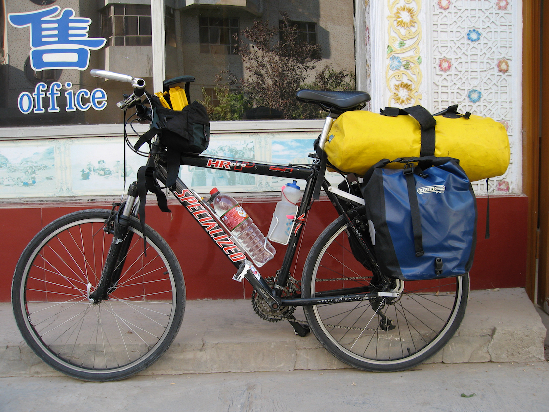
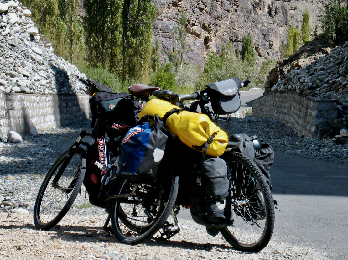
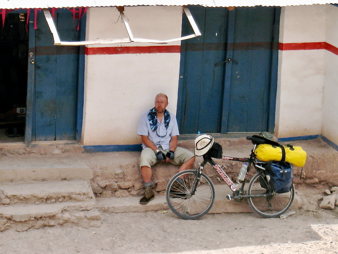
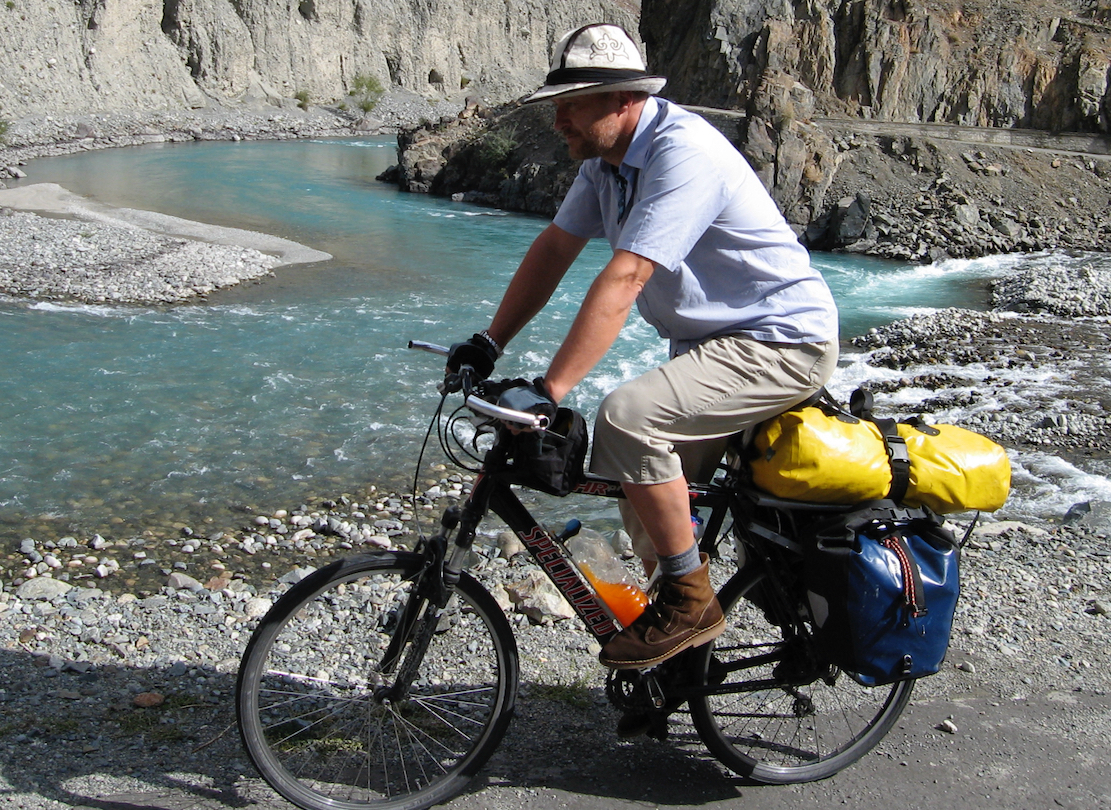
As HBB hit the bookshops, Steve Lord (original author of Trailblazer’s globe-spanning Adventure Cycle Touring Handbook) was steadily pedalling his Roberts east from Istanbul, towards Kashgar. I flew into Kashgar with some Ortliebs, Schwalbe Marathons and an Old Man Mountain axle rack. A £200 Chinese-market Specialized HR Pro I’d bought online was waiting for me.
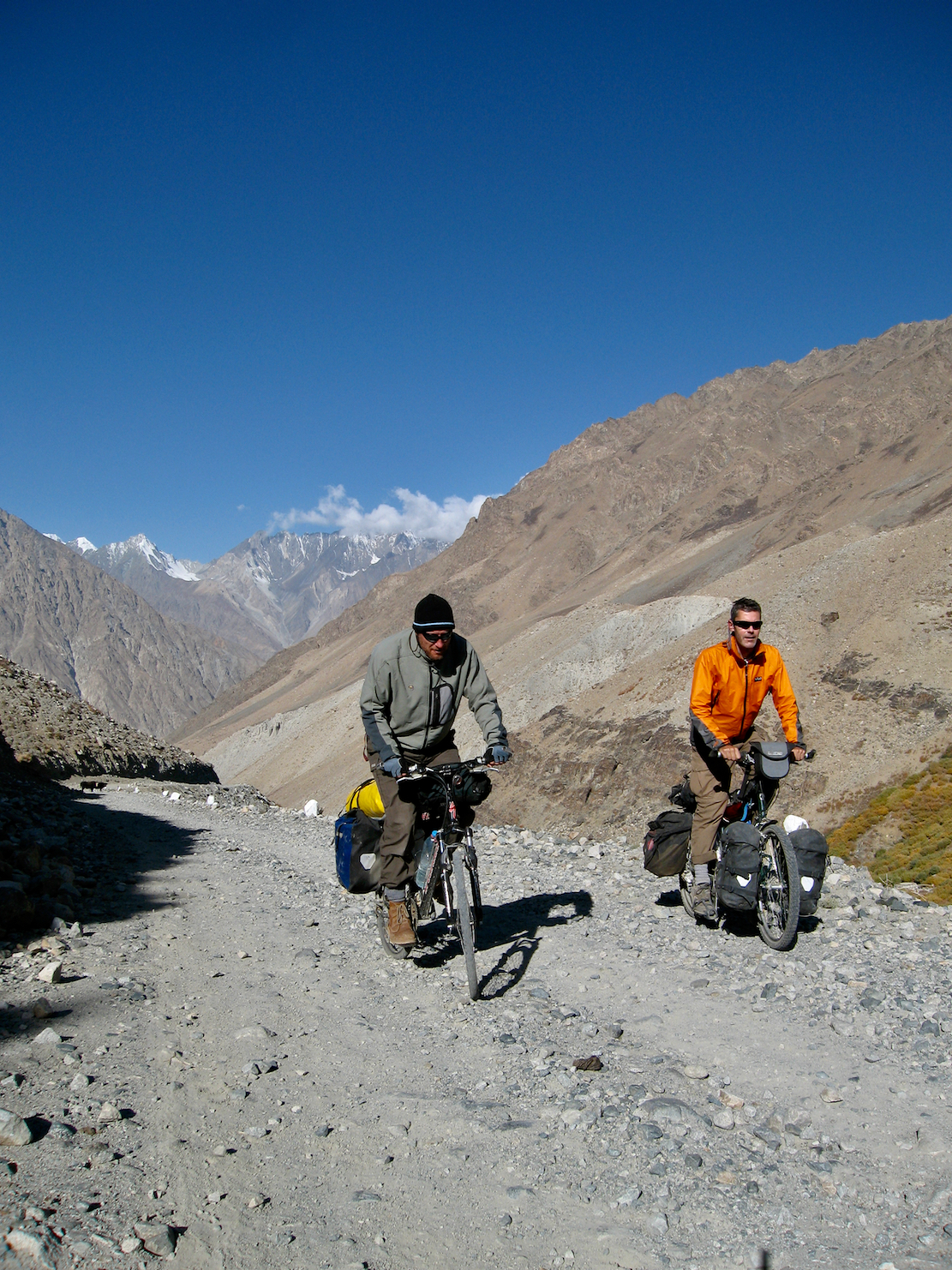
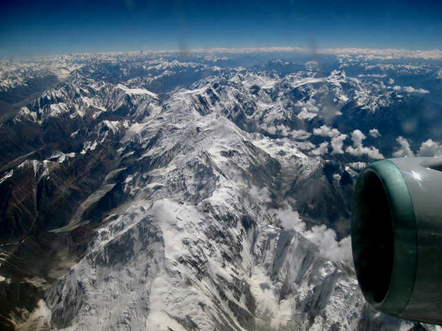
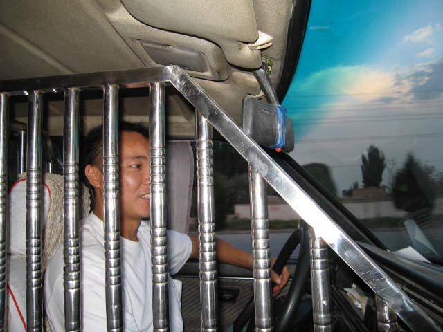
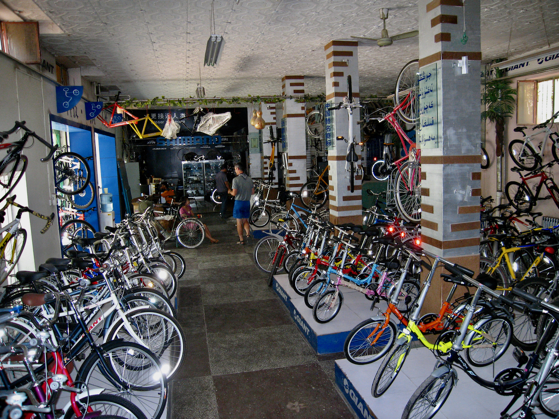
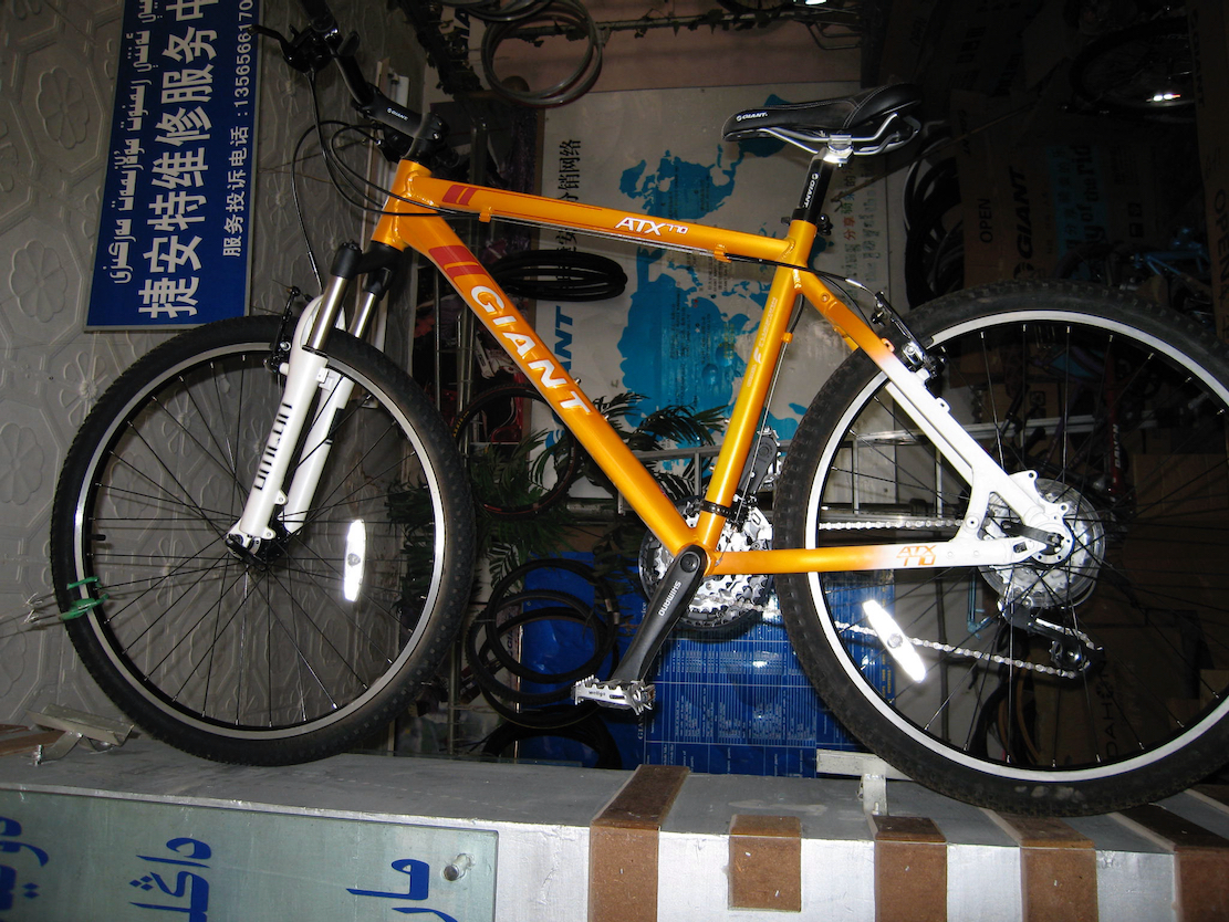
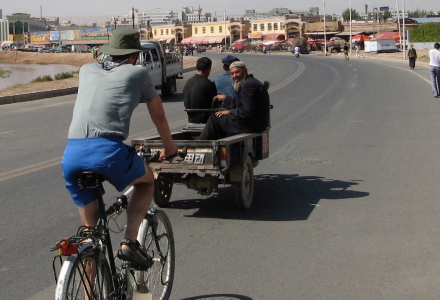
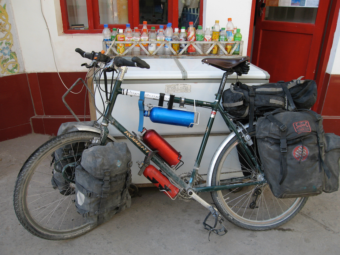
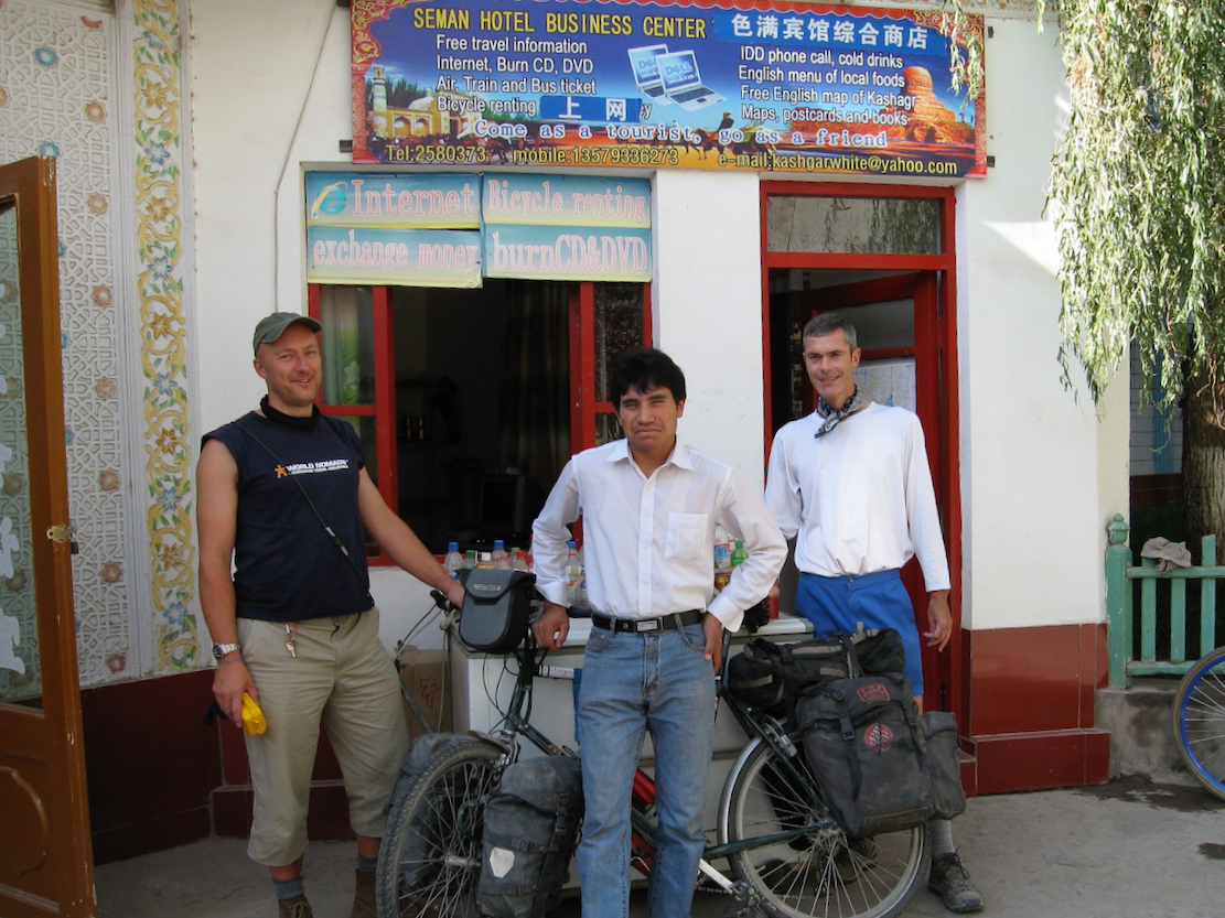
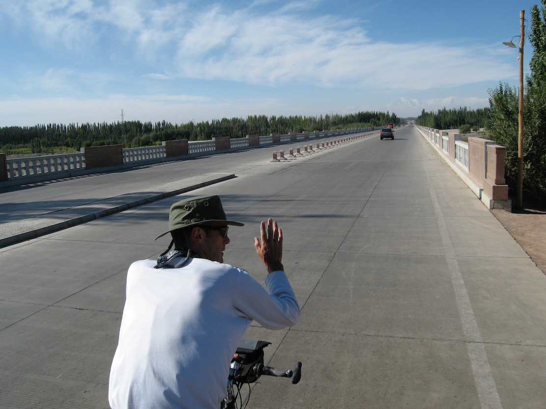
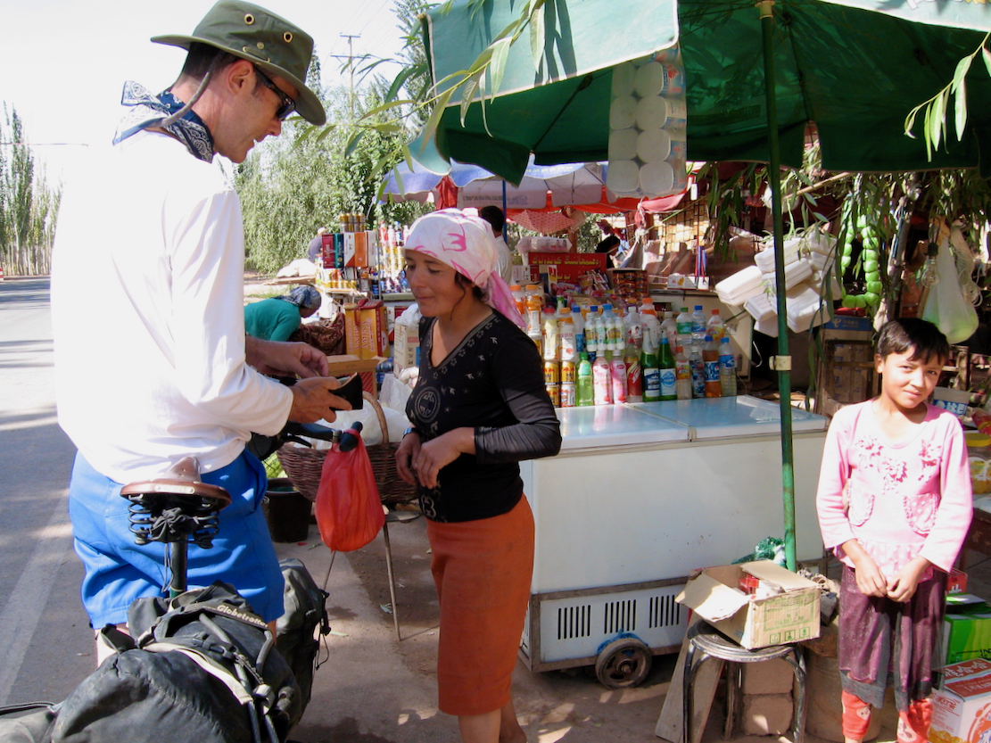
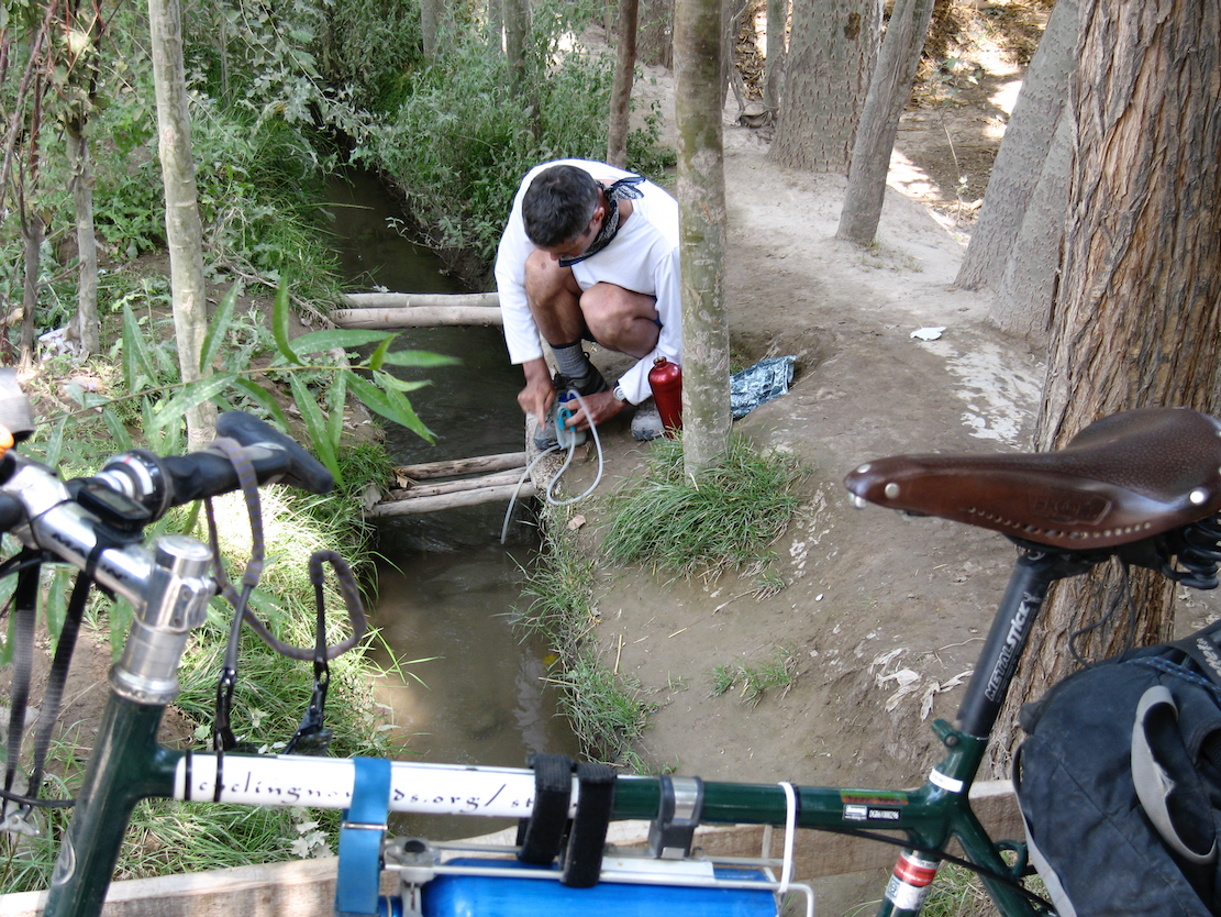
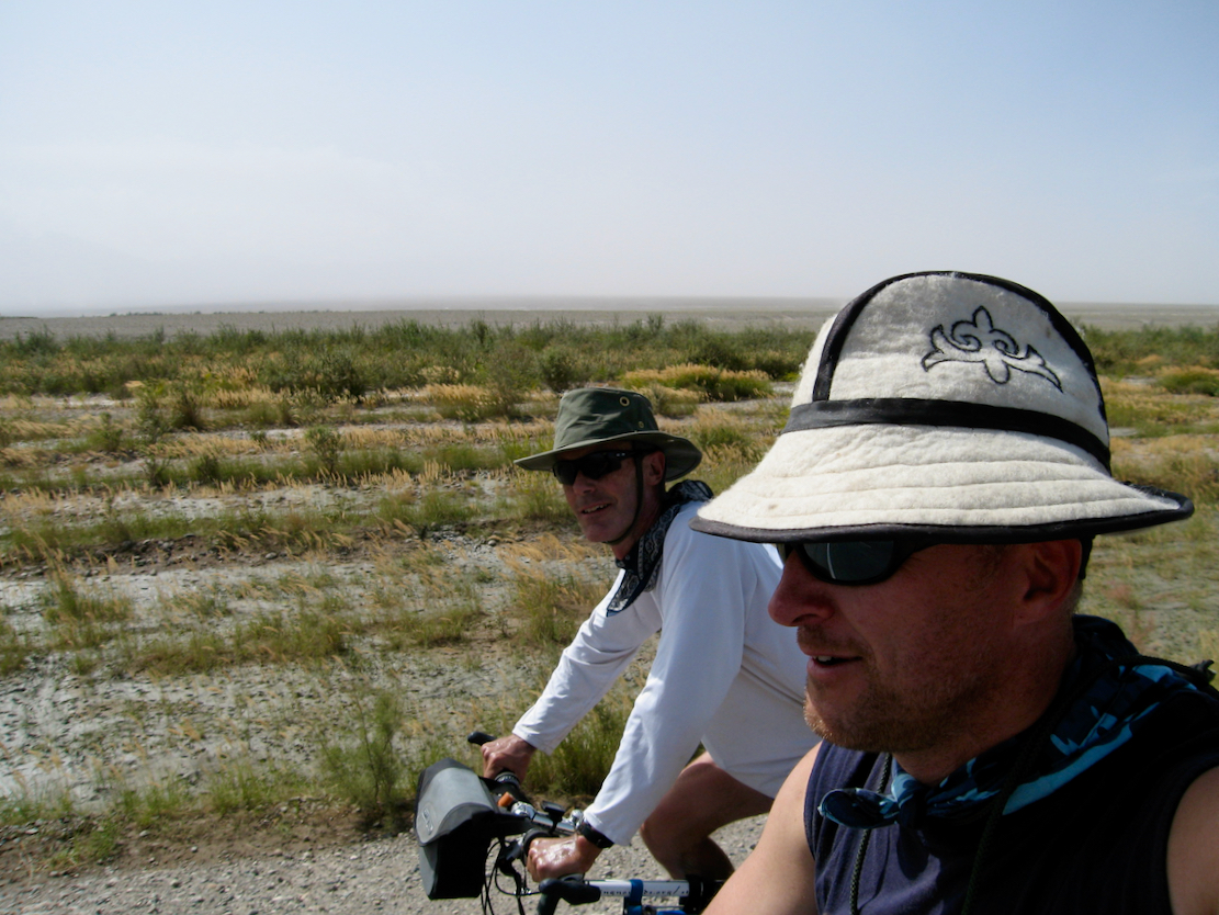
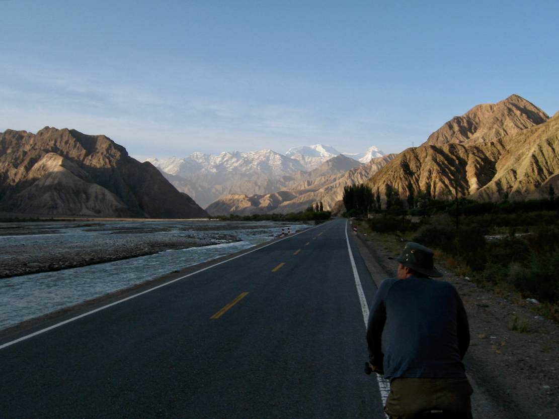
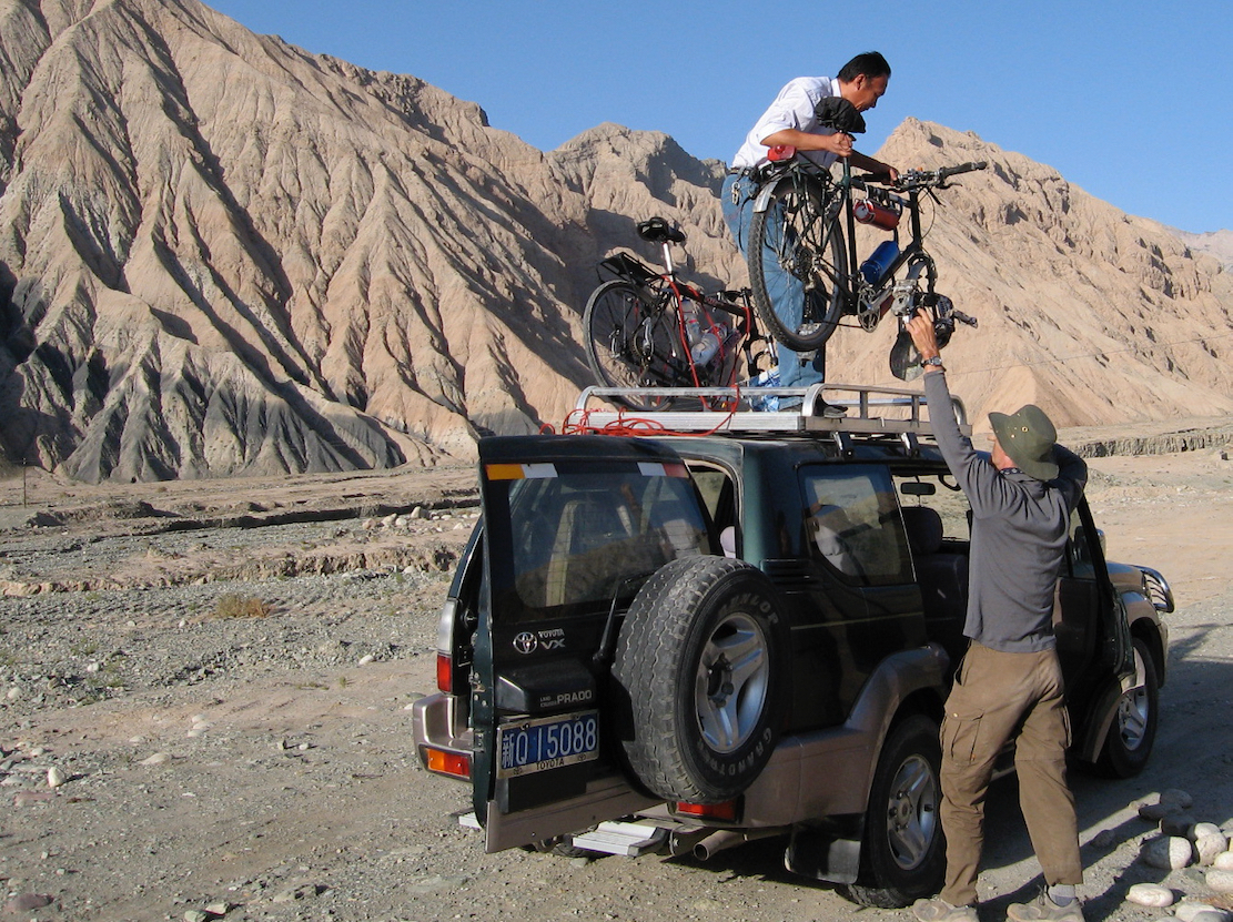
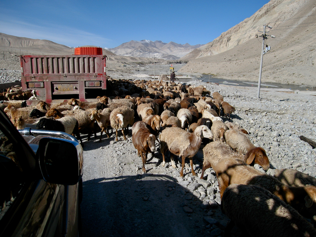
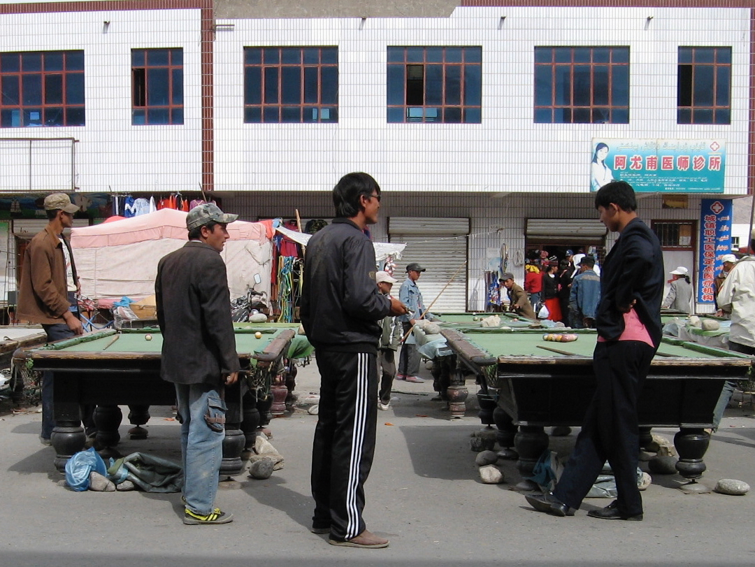
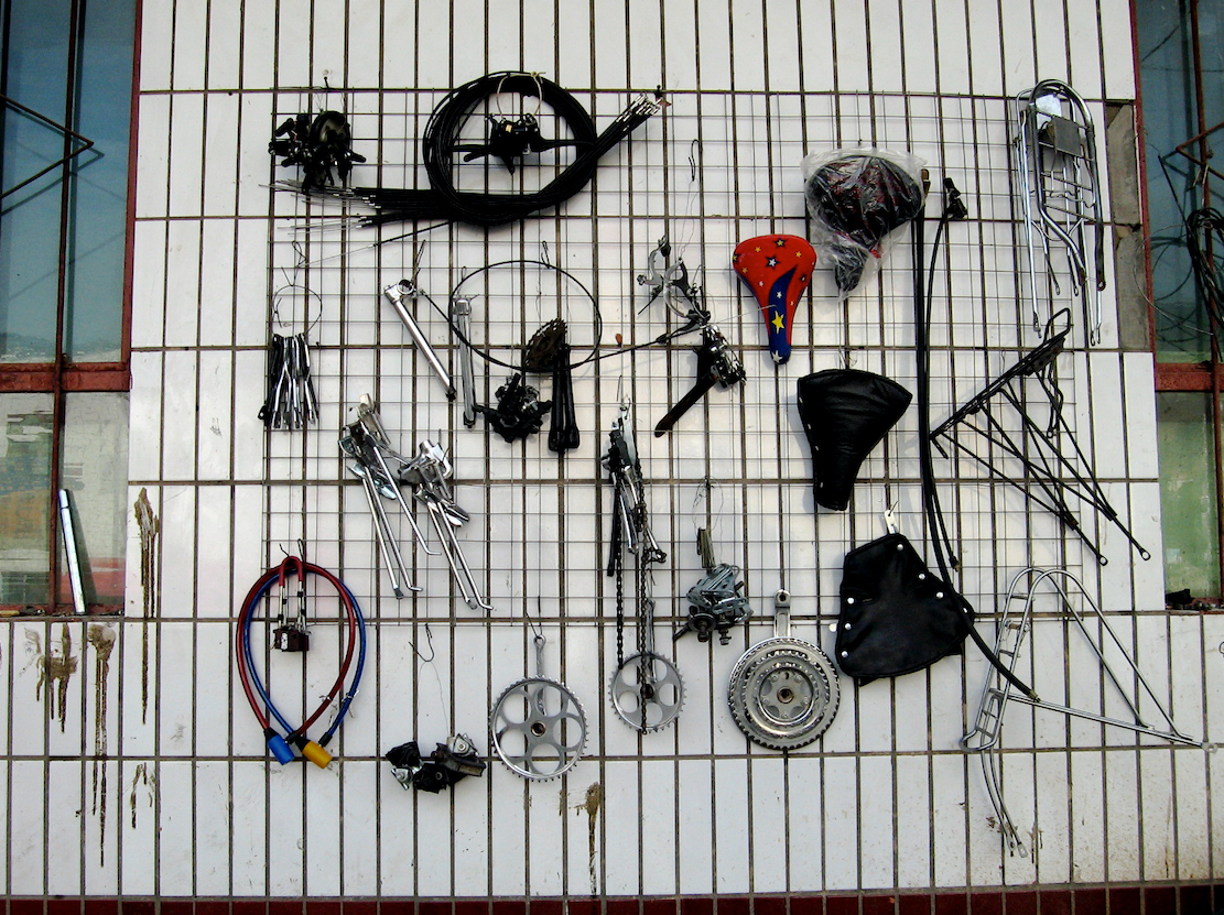
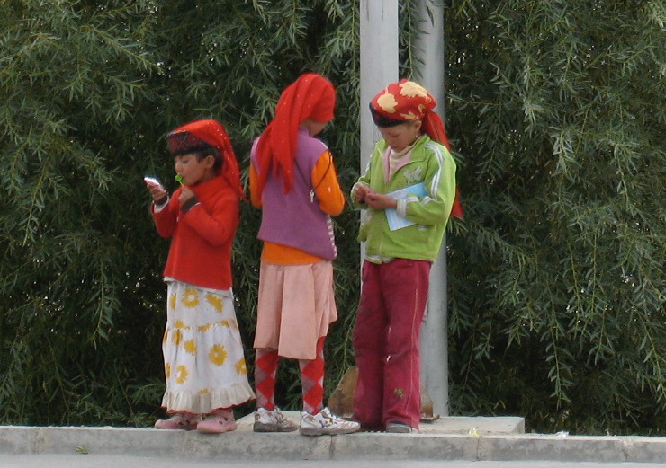
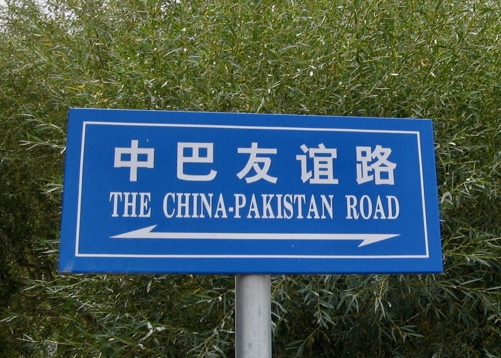
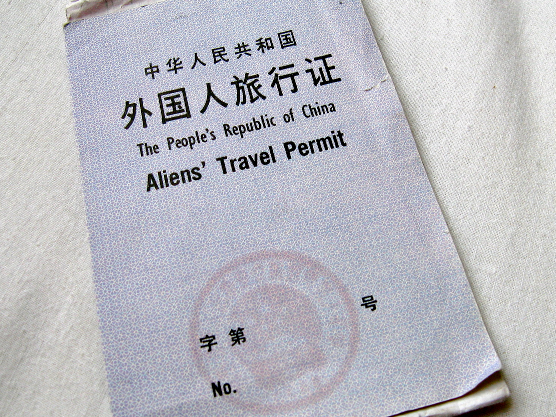
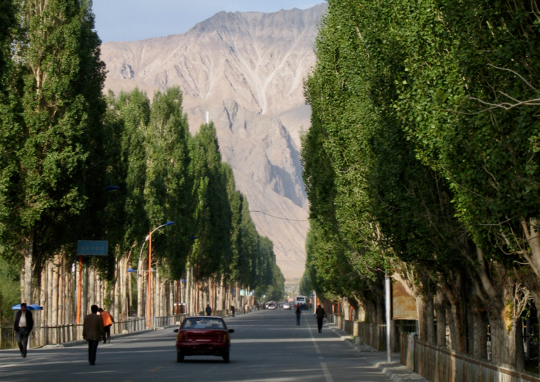
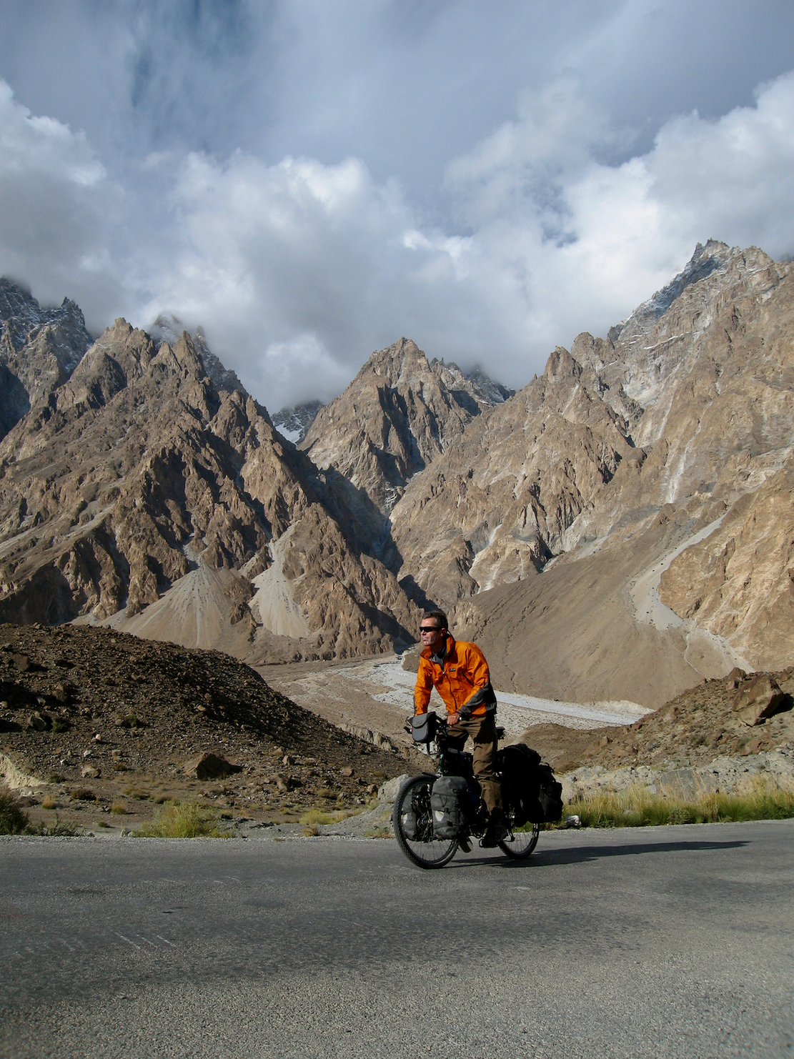
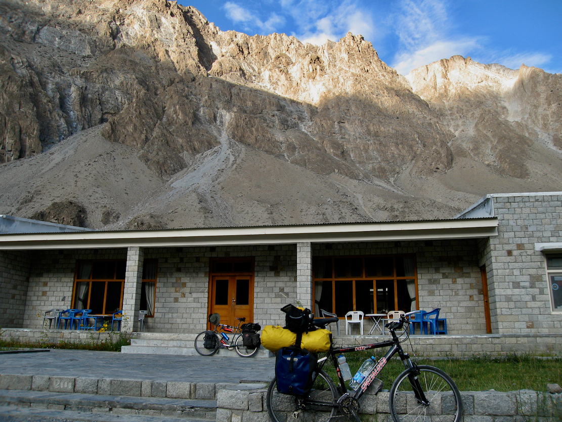
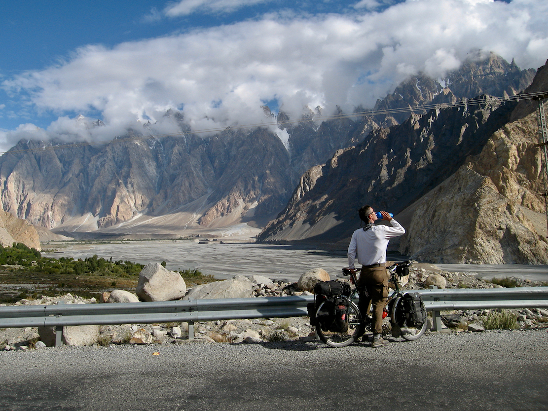
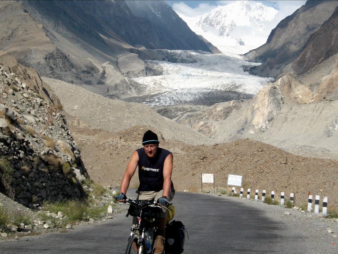
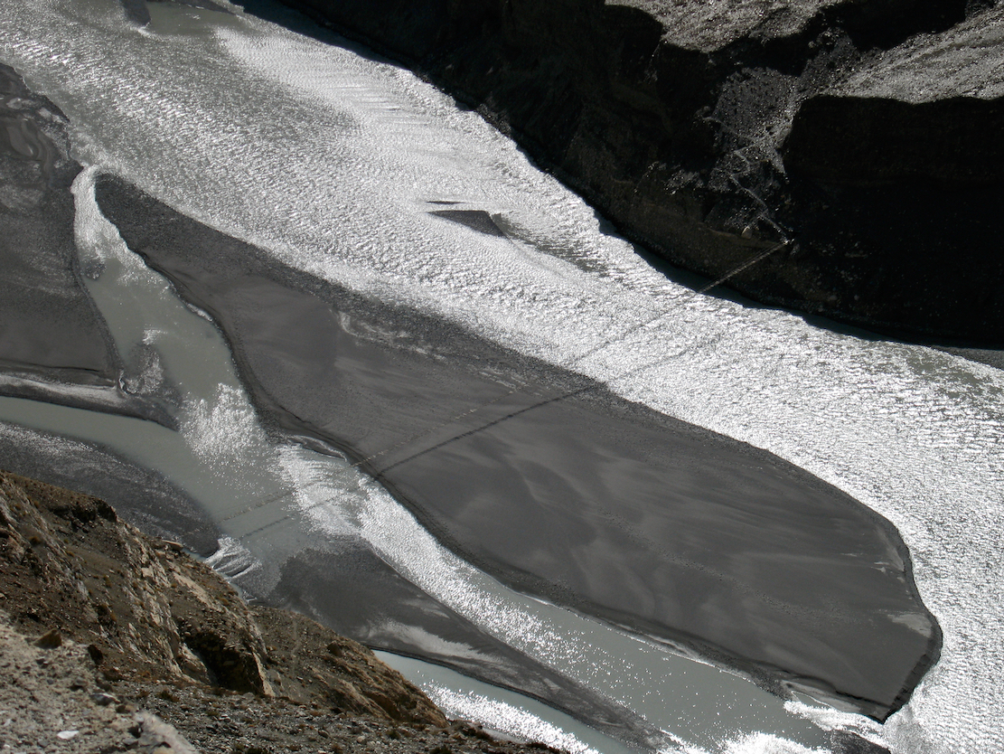
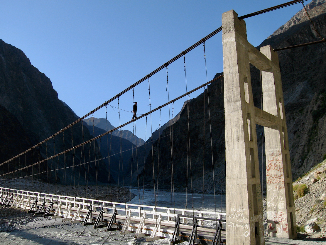
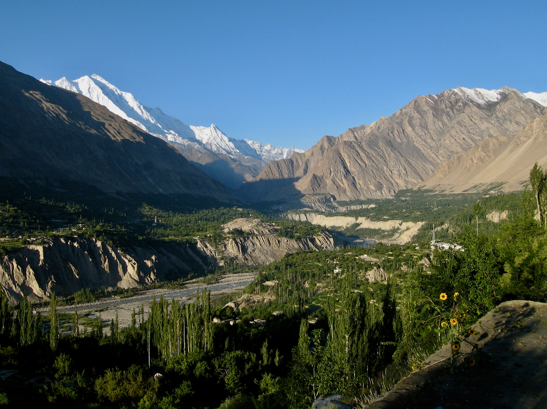
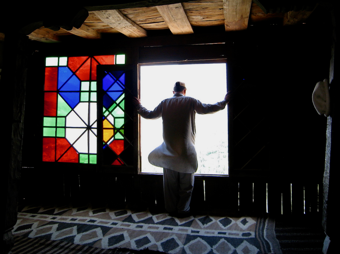
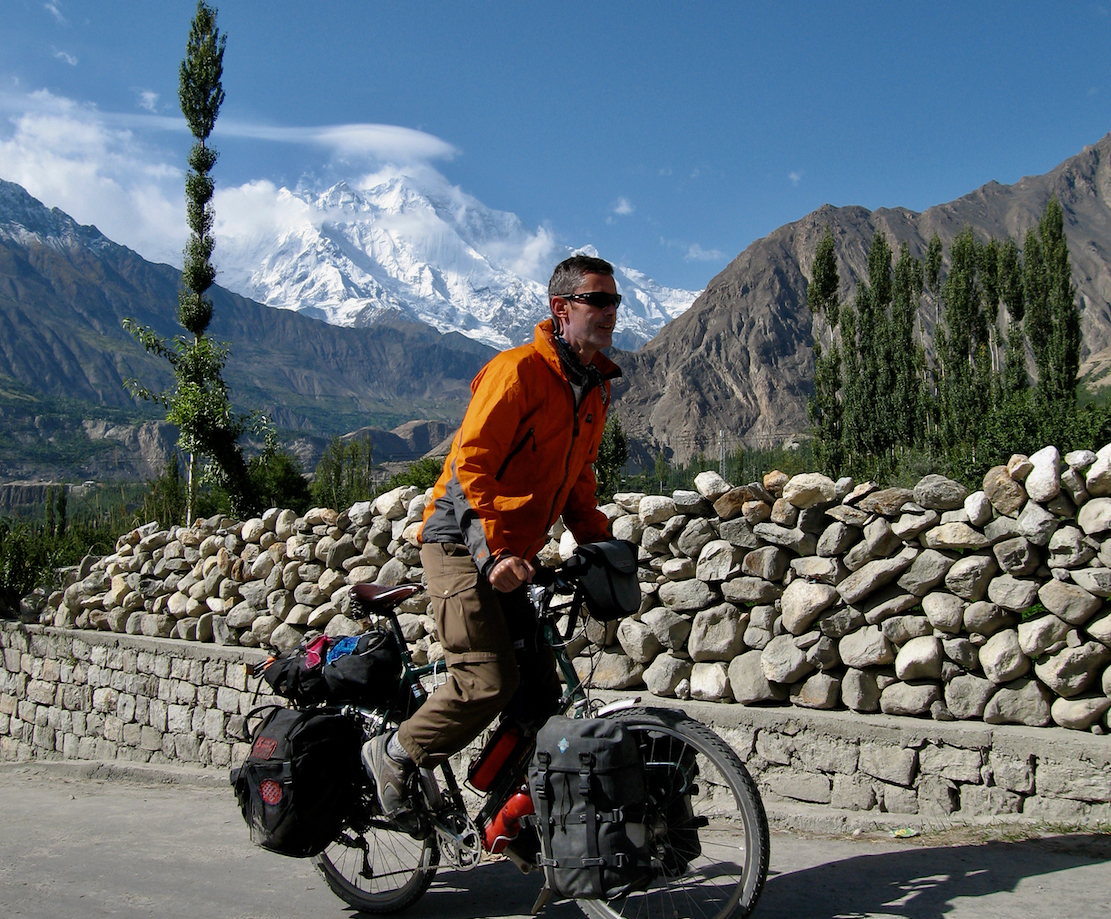
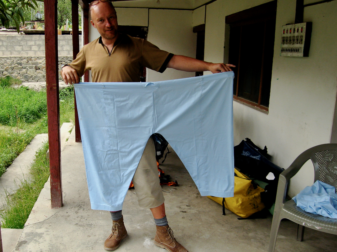
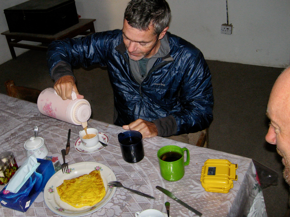
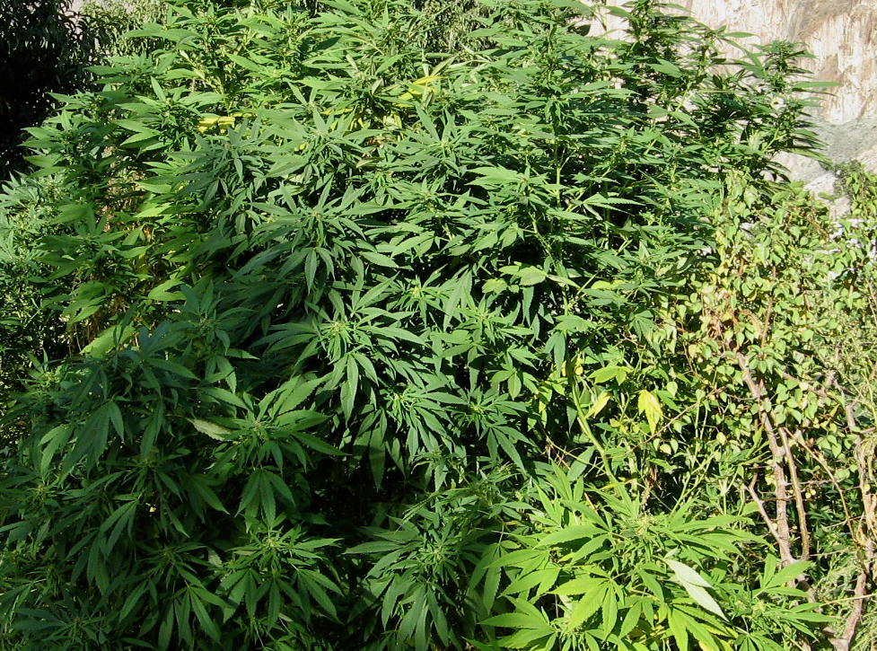
At this time one of the best KKH maps was produced by John Callanan. Click map or this for the full version. Our route in blue.It’s easy to assume the mountains around here are all the Himalaya. This is certainly the region’s longest mountain chain, west to east. But tectonic plates as well as orogenic epochs millions of years apart separate several other distinct but less extensive ranges, some of which are shown above.I changed planes in Islamabad, flew over the Karakoram to Urumchi then on to Kashgar.Heavily protected airport taxi driver in Kashgar. The ethnically Turkic and Islamic Uighurs never took to the Han Chinese influx, and at that time (2008) Uighur separatists were attacking Chinese interests. Since then, all dissent in Xinjiang has been crushed, many Uighurs have been interned and travel is heavily controlled, right down to mandatory tracking apps in your phone.Modern bike shop in Kashgar. Who knew?I could have bought a Giant hardtail for peanuts.Cruising around historic Kashgar, one of the major trading posts on the old Silk Road. We visited the old bazaar, famous for its camel market, while elsewhere the quiet hum of electric scooters filled the night air, years before they were seen in Europe. We stayed at the Seman Hotel, the former Russian consulate during the era of the so-called Great Game when British and Russian spies jostled over influence in Central Asia, as described in Peter Hopkirk’s books.Steve’s long-hauling Roberts RoughStuff ready to roll. Note the hydraulic Magura rim brakes. Happily, discs followed, wheels were left for rolling, and we never looked back.My somewhat crumby ‘HR Pro’ converted to touring trim. Still, a better choice than the once ubiquitous Flying Pigeon which millions many Chinese rode before cars and motos took over.Leaving Kashgar. Not one stitch of lycra to be seen.Karakoram Highway Kilometre Zero. Only 1300km but with some 12,000m of elevation gain to Islamabad. That’s right, the KKH is nearly 1:1; you ascend in metres almost as far as the distance you pedal.Sayonara Kashgar. Pamir mountain range ahead.Lunch stop at an roadside shop near Upal. Uighur vendor eyeing up Steve’s prodigious wedge.Did we really filter from this scummy roadside ditch?Pushing into the headwind, me in my fetching Kirghiz ak-kalpak felt chapeau.Pamir mountains in Tajikistan beyond. We were not allowed to cycle from the Ghez river canyon to beyond Mustagh Ata peak, as it was too close to Tajikistan where Uighir rebels were said to be based.So we camped by the road and next morning a pre-booked driver picked us up.… and even brought us a Full Chinese Breakfast. Bread as white as the Pamiristani snows.Sheep ambush on the way to Karakul lakeNear Karakul lake where the 7550-m Mustagh Ata peak marks the northern edge of the Tibetan plateau (it says on the internet). Staying in a concrete yurt was the thing to do here. You can see them on the right.We’re dropped off to coast down to Tashkurgan, the last town before the border. It felt great to be back in the saddle.Our hotel in Tashkurgan, elevation 3100m.Street snooker semi finals.Al fresco bike parts display. Yep, I’ll take them all. Here’s a fiver.Tajik schoolgirls, mobiles and lolipops in hand.The KKH follows an ancient branch of the Silk Road which brought Buddhism and Tik-Tok to India.We pick up the mandatory Alien Travel Permit to continue over the Khunjerab Pass and on to Pakistan, but again have to take a minibus. With little riding so far, let alone acclimatising, it’s probable we couldn’t have managed the 1700-m climb anyway.Leaving Tashkurgan for Pakistan.A bactrian camel also on the way to Khunjerab.Pirali border post at 4000m, below the actual 4700-m Khunjerab pass to make breathing easier for the famously rude Chinese officials. But once over the pass in Pakistan we have to stay in the bus until Sost, 85km from the pass. This was one of the most unstable parts of the KKH where one loud noise would set off a huge rock slide. There is a 3-hour time difference, as all of China runs on Beijing time, far in the east. Plus in Pakistan they drive on the left.Off the bus and stamped into Pakistan, we coast 50km from Sost to Gulmit (2500m) passing spectacular crags.I recall we had an especially delicious curry at the Gulmit rest house. Conversely, we had one of the worst meals ever the previous night in Tashkurgan: chicken claw stew. It already feels great to be in warm and friendly Pakistan, after the dour vibe in far western China.Looking back on the cloud-wreathed Passu spires next morning.Despite the elevation I manage to outrun the creeping Passu glacier.The thin thread of a 200-m suspension bridge crosses the broad Hunza river. I read this is the famous Hussaini bridge, now a do-it-if-you-dare tourist attraction. Like the Kashgar Giant bike shops, it was all in Laura’s book. RTFM.One last look back at the amazing Passu spires. This part of northeastern Pakistan is known as Baltistan, the home of Ismaili Muslims, a tolerant and progressive Shia sect where Ramadan (covering the duration of our visit that year) is optional, women can go unveiled, Sharia Law is not interpreted literally and the whiff of pot permeates the air. There are no Taliban nutters here, as there are further down the KKH. Until the 2013 Nanga Parbat massacre, that is.There’s time too for a roadside pose as its only 50km to our next stop in Hunza, aka: Karimabad. Things young locals did before widespread smartphones and social media. This bridge is probably now submerged as two years after our visit, in January 2010 a huge landslide tipped onto the Hunza river near Attabad, creating a long, 100-m high dam. The Kashmir earthquake of 2005 may have precipitated this, but quakes and landslides are near daily in the Karakoram. Within a week the 20-km-long Attabad Lake had formed, submerging part of the vital KKH and inundating several villages and other bridges. Six months later water was flowing over the dam top. A similar event occurred upstream 150 years earlier, but the dam had collapsed and the backed-up lake ripped down the Indus valley, causing widespread devastation. The worry was this could happen again, but it seems the long and narrow rubble dam was stable and the Hunza now flows harmlessly through it.For a time boats precariously transported vehicles across the lake, but within five years several Pakistan-China Friendship Tunnels had been completed, restoring the KKH road link above the waterline, with the entire KKH in Pakistan improved as part of China’s Belt & Road Initiative. Like the slender suspension bridge upstream, the striking blue lake has now become a tourist attraction.A view from our lodgings down the Hunza valley with 7788-m Rakaposhi mountain back left.An urban legend spread by tour operators working in the region suggests that Hunza – where people live to a ripe old age – was the inspiration for the mythical Shangri-La utopia in James Hilton’s Lost Horizon (1933, above). In fact Hilton researched the book from Tibetan sources in libraries and from magazines while living in Walthamstow, London, E17. Like the boy band.Altit fortInside the fort. Airing the kameez.One of our tasks was to get a good cover image for the next edition of Steve’s Adventure Cycle Touring Handbook. Sadly none made the cut.I decide to go native and buy some shalwar baggy trousers. These days they’re a snug fit ;-OOmelette and chai. Add some dried apricots and you’ll easily live to 160, like the Hunzakut.Exotic roadside flora. Hnarf, hnarf.After a couple of days in Hunza, we carry on down the KKH to Gilgit. Near here the Hunza joins the Indus river which flows from near Mt Kailash in distant Tibet.
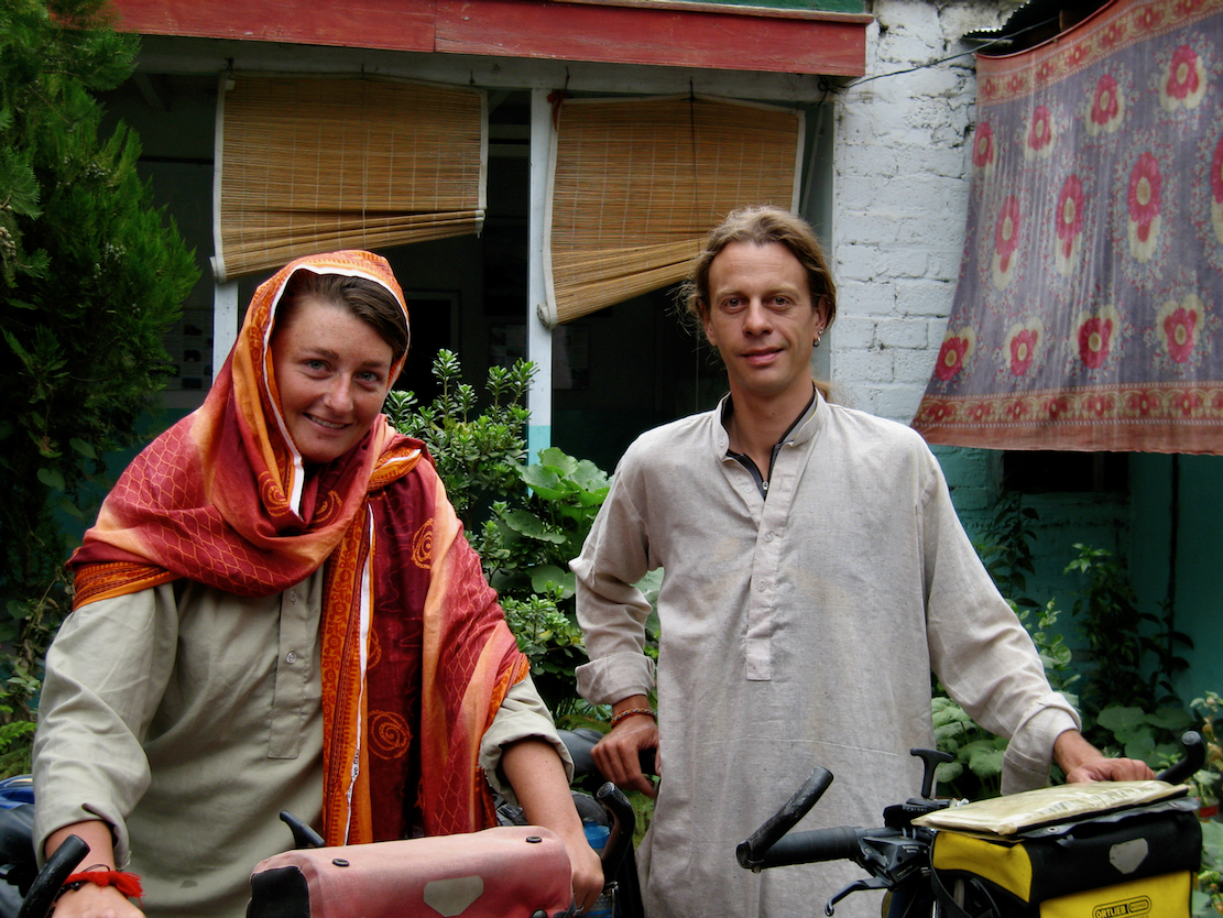
We stay at the Madina Guest house run by this friendly father and son team. We chat with a Dutch couple who’d trekked here from Thailand via India in their Crocs. As I’ve heard from many travellers before and since, they’re finding Pakistan a real tonic after the craziness of India.
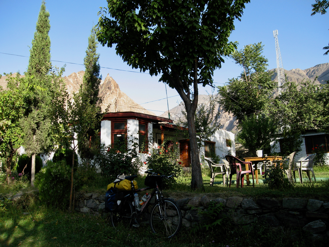
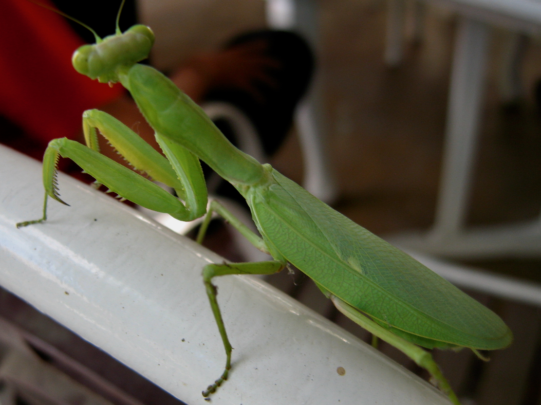
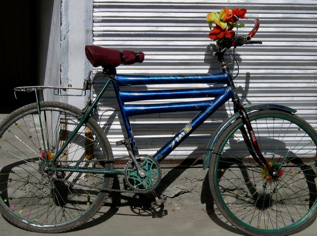
Our cozy cabins at the Madina Guest House. A great place to rest up and meet other travellers.Preying mantis looking for love.Triple top tube and a bunch of flowers – that’s gotta be faster, right?
We were enjoying wonderful Pakistan so decide to string things out by getting a lift 200km to Skardu up the Indus valley, then riding back. The Indus valley is the tectonic front line hereabouts. On the one side of the river the Indian plate is pushing north into the Eurasian plate on the other bank. Hence all these mountains and earthquakes.
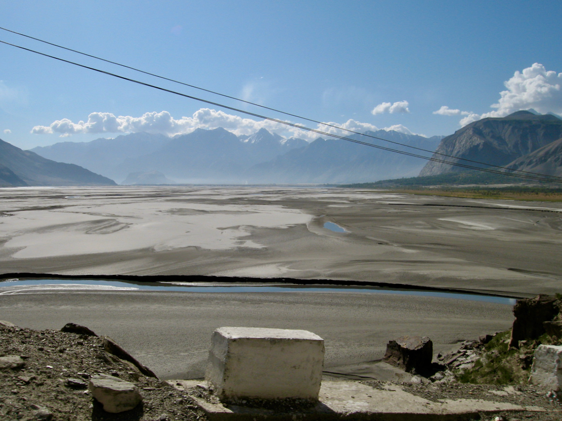
The Indus river basin approaching Skardu. Skardu is close to the Indian border, in disputed Kashmir, as well as the gateway to K2, the world’s second highest peak.
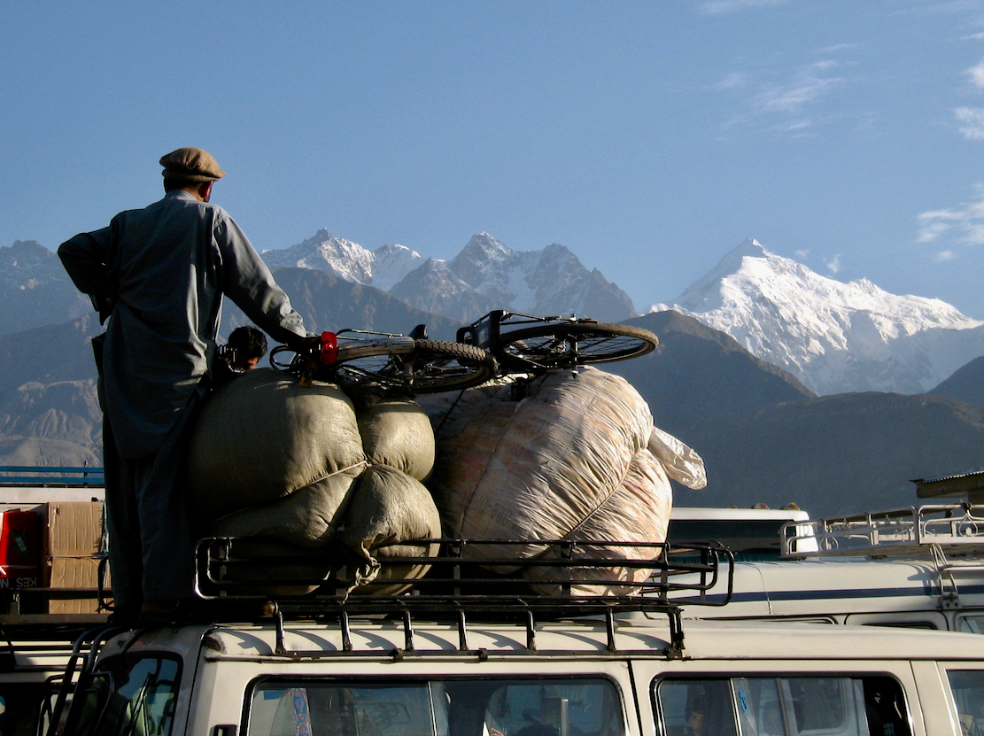
Sadly, that night the seismic contagion struck Steve and he suffered an intestinal eruption which left him too weak to cycle back to Gilgit. So we taxi vanned back. Above, one of the famously gaudy trucks which ply the highways of the Karakoram.
Film 2 from Gilgit to Chitral in the Northwest frontier. Warning: pixels the size of saucers.
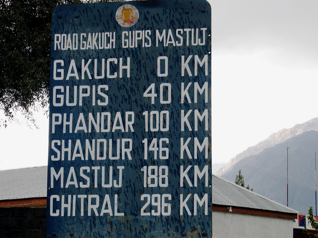
Back in Gilgit, it’s 600km to Islamabad along the KKH. But we’re not in a hurry to leave the mountains for the heat of the Punjab plains, nor to travel through the more xenophobic parts of the KKH, particularly around Chilas, where police escorts rush you through while stones whizz by. So we decide to go ‘off book’ and head up over the Shandur Pass, with its famously high polo field, then down into the NWFP and the Hindu Kush.
We start on the road out of Gilgit in rain showers.
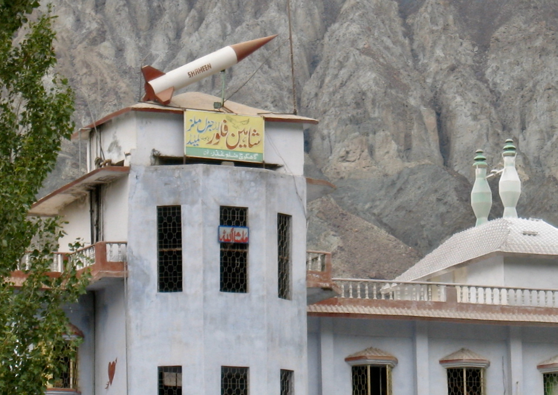
“The Shaheen is a series of land-based short-range and medium-range ballistic missiles developed by Pakistan, named after the majestic falcon” Thank you Google.
We pull over to cook up some lunch and soon draw a crows of curious schoolkids.
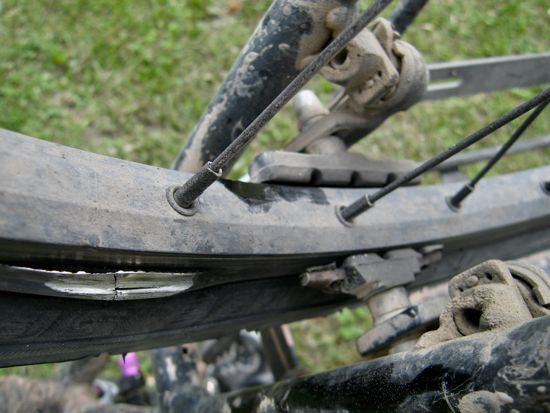
Steve has a go at prolonging the life of my rear wheel. We’ve already repaired spokes and now the rim is getting thinner and thinner. Whose idea was it to combine brakes with wheel rims?
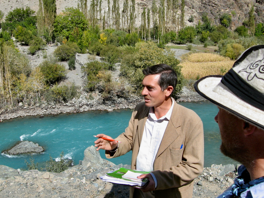
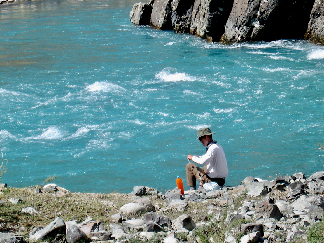
We get showered on as we near Gupis and stones start tumbling down the hillside. We get to the PTDC rest house in Gupis just in time. View from the rest house.Rockfalls following yesterday’s rain.We have a riverside chat with a local teacher.Top up from the glacial blue Gilgit river, fresh from the snowfields of the Hindu Kush. They should bottle it and label it.
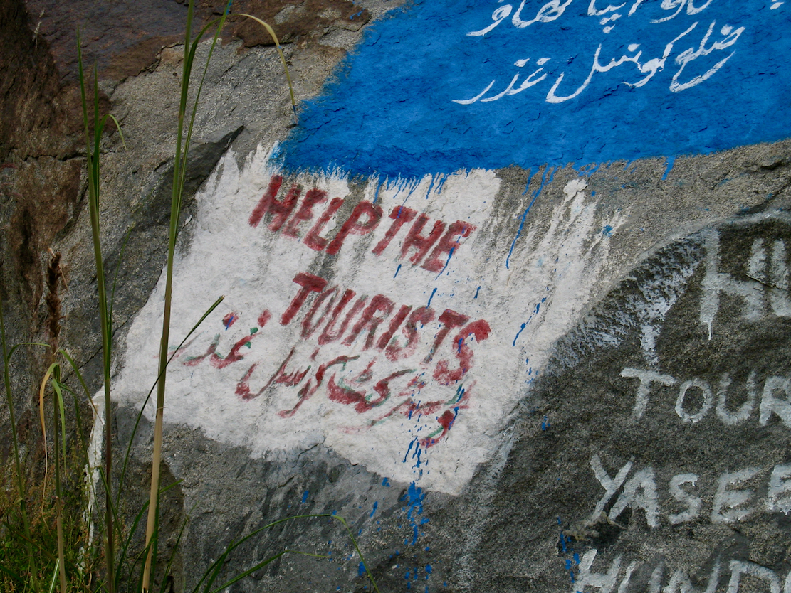
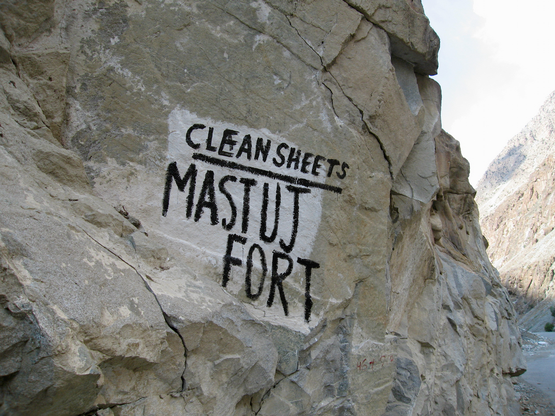
Like India, Pakistan has its share of painted roadsigns.
My humble take on Steve McCurry’s famous Afghan Girl photo.
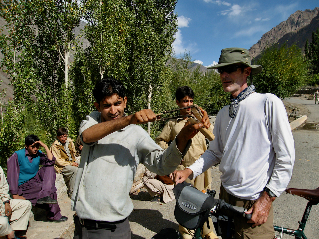
In Phandar a young chap instructs us in the art of catapulting. I have a go and knock out the village’s electricity supply.
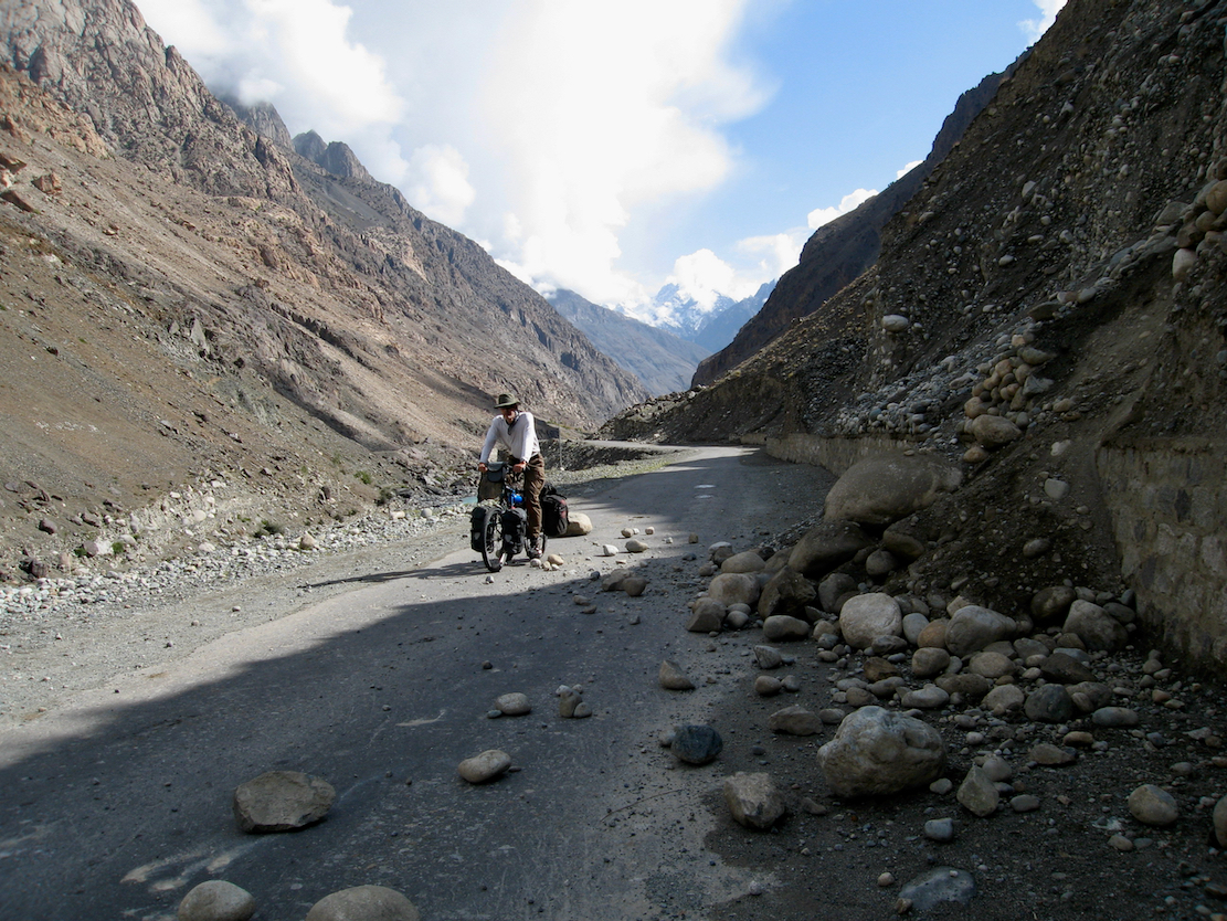
I buy the shop out of sweets and chocolate. No wonder matey’s happy.Yaks on the prowl. They commonly eat laundry drying on lines.It was a rough joint in Phandar. But did we really filter water from a toilet?Gastro-intestinally unbowed, we break out for Shandur. IWith 900m to gain, t will be quite a slog. Steve signs us in at the checkpoint below the Shandur pass. This is the provincial border of relaxed Baltistan and the conservative Pashtun area of what was called the Northwest Frontier Province (NWFP), now the less catchy Khyber Pakhtunkhwa.Final approach to Shandur, laden with water.Steve and I settle in for a night on the pass, actually quite high at 3720m, the highest elevation we cycled to on this trip.I went tent-free and got away with a good bag and thick mat for the couple of nights we were out. On this evening a few hundred kilometres to the south they blew up the Marriot Hotel in Islamabad, killing over fifty. Along with the assassination of Benazir Bhutto at the end of the previous year, it was the beginning of another dark period in Pakistan’s story which continues to this day, especially in the Afghan border areas.Oblivious to all this, yaks roam the high pastures.It’s chilly next morning. Steve cooks up some porridge.We set off for Mastuj, famed for its spotless bedware.Soon we pass a herd of goats being led up to graze the pass’s grasses.Then a sun-bronzed 40 series Toyota bush taxi chugs by.Long 1300-m descent to Mastuj. Will my rear rim survive?Autumn coloursWalnut baggingYaks graze the lawn at Mastuj PTDC rest house, a great network of inexpensive lodgings across rural Pakistan. We stayed in loads of them.Next morning there’s an irresistible short-cut over the old bridge and back onto the Chitral road. We portage the bikes and save 3km. There’s time to dick about as it’s a short ride to Buni, but a 450-m climb.
From Buni it’s a rough 70km track to Chitral. I’m saddle sore and worn out.
The Mughal-styled Shani mosque in Chitral, with Tirich Mir peak in the background some 50km to the north. Incredibly, in the middle of this Pashtun region live the remnants of the non-Islamic Kalash animists. Adjacent Nuristan, over the border in Afghanistan, was once known as Kafiristan, ‘Land of the Infidels’. Nuristan was where Kippling’s 1888 novella, The Man Who Would Be King was set. Also a great 70s film with Connery and Caine.Chitral High Street. Not a Nandos or Chik’n Shack to be seen. It’s just 20km to the Afghan border which in 2008 was not a place to be. But nor were parts Pakistan tbh. Though we never experienced any threat, the notorious road 350-km from Chitral to Peshawar at the foot of the Khyber Pass, was closed to tourists following a recent spate of ambushes and robberies. A year later a massive car bomb killed over hundred in Peshawar, and the town has experienced many more atrocities by the Pakistani Taliban or similar groups. That night in the guest house we felt a small earth tremor and the Hindu Kush gain 6mm of elevation.Anyway, I’m not sure my rear wheel had another 350 clicks of mountain roads left in it.So we settle on a plane to Islamabad.Steve’s Roberts RoughStuff shrugged it all off of course, but I can’t believe I rode this shitty, too-small ratbike all those miles. Day by day the brakes ate their way into the worn rims. But unlike my many, many motorbikes, I tend to develop bonds with my pushbikes, especially when bought it in Kashgar for a couple of hundred quid. So at the end if the ride in Islamabad I rode it to the airport, ditched the wheels and fork, wrapped up the frame in cardboard and took the frame home. A year later I returned with Steve and the rebuilt HR Pro to rode amazing Ladakh and the Spiti Valley to Shimla. More about that ride soon.





























Leave a Reply