
Dartmoor has a mystique unmatched by other moorland areas in Britain. Or maybe it’s just me. I still recall the mist-bound moorland road as a teenager on the way to walk the Cornish Coast Path. Elton John’s Funeral for a Friend was on the cassette; the track starts with a suitably chilling wind and sonorous bells before setting off into its dirgey intro. The place and the tune have been conjoined in my imagination ever since.

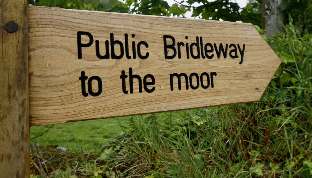
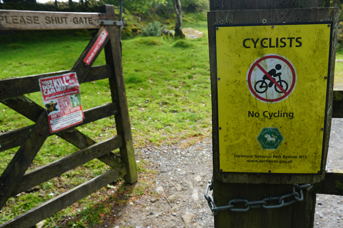
With the largest area of Open Access wilderness in southern England, you’d think there’d be some good biking here. Not really. Walkers and horses can roam from tor to mire at will, but I discovered rather late that bikes are restricted to what few bridleways there are (below left), most of them in the southern half of the park. In the north, where we were based, army training ranges impose additional limitations. Whatever the firing schedule is on a given day (it varies among the three ranges), routing with the OS Mapping app bounces back when trying to drag a promising bridleway over the ranges’ boundaries.


The Dartmoor Way Cycle Route traces the park’s rim mostly on backroads; not really what we came here for, although the 40-km section called the High Moor Link (below) cuts across the centre and looks more like it. Having handed in my metaphorical homework after the exam had started, the HM Link will have to be one for next time. A few months later I rode the middle section of the Dartmoor HML.

What is striking is the sharp boundary between the open moor and the surrounding cultivated land – as defined as a seashore. On the ‘outside’, ancient paths and steep lanes barely a car wide twist between moss-covered trees and stone walls choked with lush spring growth. Pass through a gate and the bleak moors rise up and roll away towards distant tors and small copses, the sole landmarks. Fifty shades of green hint at knee-deep peat hollows or tussocky hillsides which, like Scotland, can be hard to tramp over, let alone ride. And unless you know the area well, even with a GPS map device, once the mist comes down you could see how disorientation soon follows.


We went for a walk the first evening and soon came across Scorhill stone circle (below) ‘older than Stonehenge’ we were told. Dartmoor has the highest concentration of Neolithic (‘Stone Age’) and Bronze Age monuments in the UK. It seems this period was followed by two millennia of climate-led depopulation until the early Medieval era, by which time the deforestation and wet period had brought about the bare, boggy moorland we know today.

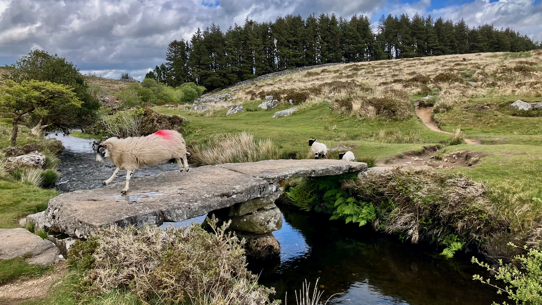
Down by a stream a ewe and her new-born lambs dashed across an ancient-looking clapper bridge spanning the infant River Teign. From here faint paths criss-crossed the grassy wastes. We followed one towards a tor but it petered out and, mire-bound then pelted by hail, we scurried back to our cozy lodgings.
Next day my bold plan was to ride an arc across the north of the park, taking in any ‘inland’ moorland bridleways along the way as far as Lydford on the park’s west side. From here the map showed a thrilling moorland bridleway running ESE towards the Two Bridges road. But this cut through the Merrivale Firing Range, so was a bit sketchy even if, as I understood, on Dartmoor you can wander the ranges freely as you’ll only find bullet cases. At Lulworth Ranges near us, they fire shells which shake the windows and can end up as UXO, so even when accessible, you must stick strictly to paths.
Back on Dartmoor, from Two Bridges another auspicious bridleway reached north into the moor before swinging across the Fernworthy Forest for a nadgery way back to our B&B.
That added up to 90km and I had a feeling some of these bridleways were not so much clearly signed gravel tracks as mere lines on a map, and the lanes of the peripheral Dartmoor Way rose and dropped regularly around the park’s weathered rim, sapping energy from legs and batteries.
Anticipating that – as they have so many times before – things would fall apart because the crankpin could not hold, I demoted our outing to a tactical recce. Wisely, it turned out, I decided to leave the bridleway around Colson Hill for later, and at Belstone we finally got on the sort of track I’d envisaged via Cullever Steps: easy to follow with stony elements and ponies.
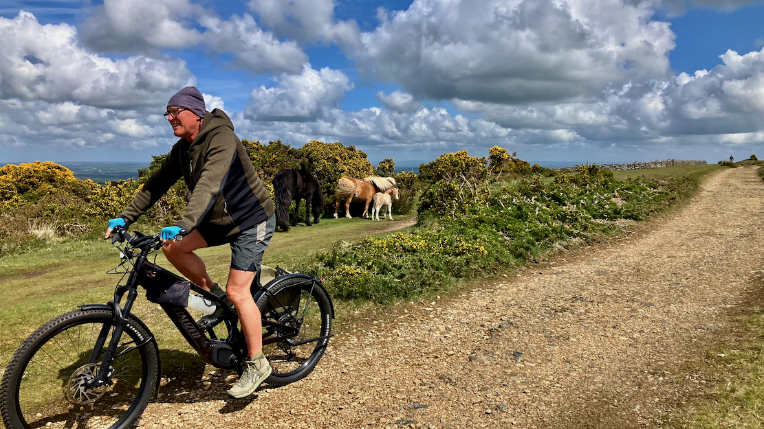
Maybe ‘easy to pedal’, is more accurate. You’d think I’d know by now, but not for the first time ‘winging’ the nav let me down. In a bid to declutter the moor and make the groups of school-age kids earn their map-reading badges, there are no signposts or waymarks alongside tracks. At each fork I was referring to the OS App on a cheap tablet and following my nose. It had worked fine for Columbus, after all. It took a while to notice the tablet’s Live Location was taking forever to update. Luckily the geef’s tiny iPhone was much quicker (thanks to wi-fi?). I blame a combination of radioactive radon emissions, Android-specific GPS drone-jamming signals from nearby Okehampton Camp, and an intense burst of electromagnetic solar pulses. By this time we’d wasted an hour dicking about, unhelped by the geef’s battery taking a dive following a cold night in the car, and all putting our ambitious circuit in jeopardy.

Ending up unintentionally in Okehampton, by the church I fiddled with the tablet’s settings, which seemed to improve the GPS, and we set about trying to claw back the remains of the chilly day.
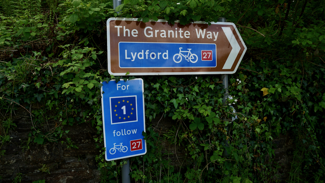
From Okehampton the Granite Way led 13km to Lydford. Sounds great but this proved to be just a busy paved cycle route paralleling the noisy A30 below, which could have been in Uxbridge near the M25. Near Lydford we layered up for a bench lunch and decided to head back and try the Cullever Steps route from the other end.

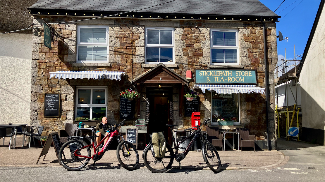
This time things worked out. A paved lane led past Okehampton Camp deep into the moor and, with only one more wrong fork, we made the connection with the morning’s blunderings, High Fived our orienteering triumph and picked up dinner and a treat from the nearby Sticklepath village store.
By now I’d conceded this tablet-in-a-pocket idea was as dumb as it sounded. I’d bodged a velcro-patch RAM mount for moto use, but was pretty sure that with just 140mm of fork travel, the mount would struggle with the hammering and anyway, the tablet would block the Tero’s handy display. Clamping an old iPhone to a Quad-Lock was the way to do it. And plugging a short charging cable into the Tero display’s handy USB-C port would get around the old phone’s dire battery life.
Next day was rainy so we walked up the Colson Hill bridleway. Initially this was a steep, stony and muddy climb leading to faint grass trails, so even with assist, it had been the right decision to skip yesterday.
Once the track levelled off we came across the amazing Colson Stone Row, ‘the most impressive triple stone row in Britain‘. I’ve never heard of stone rows, but don’t find that claim far fetched. A local legend says that from pagan times right into the early Christian era, local grooms would lead their brides hand in hand along the row, each in their own ‘corridor’, and at the high end rocks they’d be considered betrothed until death did them part.
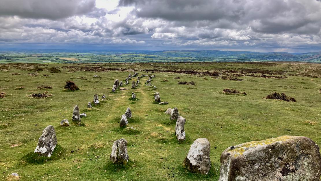
What added to the stone row’s intrigue for me was that it was aligned WNW/ESE towards the rising sun, like scores of similarly aged tombs I’ve seen in the Sahara. Imagine my disappointment when searching deeper into the Stone Row website above, it turned out Neolithic stone row orientation on Dartmoor is pretty random, usually north-south and that “relatively few point ESE to WNW”.

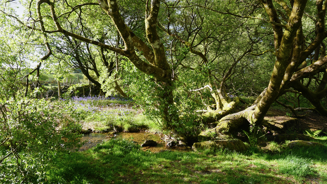
It was now pelting down and once down from the Colson Hill’s trig point, we stumbled onto a lovely footpath that reminded us of New Zealand South Island’s temperate pockets of rainforest. And, by chance it was right near South Zeal village! Even walking parts of it required eight legs, but it just went to show – you might not have the range but can sure make some great discoveries out of the saddle.
Recce signed off, we’ll be back on Dartmoor with our bikes to have a proper look around.


Gear Update
The geef’s Aeroe Spider Rack handled the light loads fine. My Pedaling Innovations Catalyst pedals were less of a hit.
Leave a Reply